Linaküla geodata
Linaküla (Pärnumaa) is a seat of a second-order administrative division; located in Estonia in Europe/Tallinn (GMT+3) time zone. With population of 119 people, there are 180 cities with bigger population in this country. Compared to other cities in Estonia, 86.3% of cities are located further ↑North; 90% of cities are located further →East and 90.5% of cities have higher elevation than Linaküla. Note1


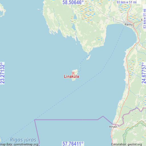
Linaküla GPS coordinates[2]
58° 8' 13.992" North, 23° 58' 27.984" East
| Map corner | latitude | longitude |
|---|---|---|
| Upper-left | 58.50646°, | 23.27132° |
| Center: | 58.13722°, | 23.97444° |
| Lower-right: | 57.76411°, | 24.67757° |
| Map W x H: | 82.5×82.5 km | = 51.3×51.3mi |
| max Lat: | 59.57639° ⇑86.3% North |
| Linaküla: | 58.13722° |
| min Lat: | ⇓13.7% South 57.72778° |
| min Long | Linaküla | max Long |
| 22.24646° | 23.97444° | 28.19028° |
| W 10%⇐ | ⇒90% E |
Elevation
Elevation of Linaküla is 12 m = 39 ft, and this is 41.2 m = 135 ft below average elevation for this country.
| Max E: |
141 m = 463 ft | 90.5% |
| Avg. | 53.2 m = 175 ft | |
| Linaküla | 12 m = 39 ft | |
Min E: |
6 m = 20 ft | 9.5% |
See also: Estonia elevation on elevation.city.
Geographical zone
Linaküla is located in North temperate zone (between Tropic of Cancer and the Arctic Circle). Distance of this North polar circle is 936.9 km =582.2 mi to North.| Distance of | km | miles | from Linaküla |
|---|---|---|---|
| North Pole | 3542.8 | 2201.4 | to North |
| Arctic Circle | 936.9 | 582.2 | to North |
| Tropic Cancer | 3858.3 | 2397.4 | to South |
| Equator | 6464.3 | 4016.7 | to South |


Nearby cities:
15 places around Linaküla: (largest is in red/bold)
• Audru
38.2 km =23.7 mi,  37°
37°
• Häädemeeste
31.3 km =19.4 mi,  101°
101°
• Kilingi-Nõmme
58.1 km =36.1 mi,  88°
88°
• Lavassaare
48.1 km =29.9 mi,  30°
30°
• Lihula
61 km =37.9 mi,  352°
352°
• Paikuse
47.1 km =29.3 mi,  55°
55°
• Pärnu
41.2 km =25.6 mi,  47°
47°
• Risti
47.7 km =29.6 mi, 350°
• Ruhnu
56.9 km =35.4 mi,  228°
228°
• Sauga
44.3 km =27.5 mi, 43°
• Sindi
50 km =31.1 mi, 54°
• Tõstamaa
21.8 km =13.5 mi,  3°
3°
• Uulu
39.4 km =24.5 mi,  65°
65°
• Virtsu
54.8 km =34.1 mi,  331°
331°
• Võiste
47.2 km =29.3 mi, 39°
Sources, notices
• [Note1] Compared only with cities in Estonia existing in our database
• [Src1] Map data: © OpenStreetMap contributors (CC-BY-SA)
• [Src2] Other city data from geonames.org with taken over terms of usage.
• [Src3] Geographical zone / Annual Mean Temperature by Robert A. Rohde @ Wikipedia
