Viladecans geodata
Viladecans (Catalonia) is a populated place; located in Spain in Europe/Madrid (GMT+2) time zone. With population of 63,489 people, there are 148 cities with bigger population in this country. Compared to other cities in Spain, 55.6% of cities are located further ↓South; 93.5% of cities are located further ←West and 96% of cities have higher elevation than Viladecans. Note1


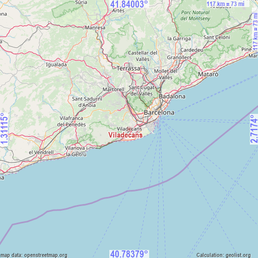
Viladecans GPS coordinates[2]
41° 18' 50.58" North, 2° 0' 51.372" East
| Map corner | latitude | longitude |
|---|---|---|
| Upper-left | 41.84003°, | 1.31115° |
| Center: | 41.31405°, | 2.01427° |
| Lower-right: | 40.78379°, | 2.7174° |
| Map W x H: | 117.4×117.4 km | = 72.9×72.9mi |
| max Lat: | 43.74134° ⇑44.4% North |
| Viladecans: | 41.31405° |
| min Lat: | ⇓55.6% South 27.64134° |
| min Long | Viladecans | max Long |
| -18.00367° | 2.01427° | 4.2899° |
| W 93.5%⇐ | ⇒6.5% E |
Elevation
Elevation of Viladecans is 20 m = 66 ft, and this is 578 m = 1896 ft below average elevation for this country.
| Max E: |
1682 m = 5518 ft | 96% |
| Avg. | 598 m = 1962 ft | |
| Viladecans | 20 m = 66 ft | |
Min E: |
0 m = 0 ft | 4% |
See also: Viladecans elevation on elevation.city.
Geographical zone
Viladecans is located in North temperate zone (between Tropic of Cancer and the Arctic Circle). Distance of this Northern Tropic circle is 1987.8 km =1235.2 mi to South.| Distance of | km | miles | from Viladecans |
|---|---|---|---|
| North Pole | 5413.4 | 3363.7 | to North |
| Arctic Circle | 2807.5 | 1744.5 | to North |
| Tropic Cancer | 1987.8 | 1235.2 | to South |
| Equator | 4593.7 | 2854.4 | to South |


Nearby cities:
15 places around Viladecans: (largest is in red/bold)
• Begues
7.1 km =4.4 mi,  287°
287°
• Castelldefels
5.4 km =3.4 mi,  222°
222°
• Cervelló
10.2 km =6.3 mi,  333°
333°
• Cornellà de Llobregat
7 km =4.3 mi,  55°
55°
• El Prat de Llobregat
6.9 km =4.3 mi,  77°
77°
• Esplugues de Llobregat
9.4 km =5.8 mi,  41°
41°
• Gavà
1.4 km =0.9 mi,  230°
230°
• L'Hospitalet de Llobregat
8.8 km =5.5 mi,  54°
54°
• Sant Boi de Llobregat
3.8 km =2.4 mi,  29°
29°
• Sant Feliu de Llobregat
8.3 km =5.2 mi,  21°
21°
• Sant Joan Despí
6.9 km =4.3 mi, 31°
• Sant Just Desvern
9 km =5.6 mi, 29°
• Sant Vicenç dels Horts
8.8 km =5.5 mi,  355°
355°
• Santa Coloma de Cervelló
5.9 km =3.7 mi, 359°
• Torrelles de Llobregat
4.8 km =3 mi, 327°
Sources, notices
• [Note1] Compared only with cities in Spain existing in our database
• [Src1] Map data: © OpenStreetMap contributors (CC-BY-SA)
• [Src2] Other city data from geonames.org with taken over terms of usage.
• [Src3] Geographical zone / Annual Mean Temperature by Robert A. Rohde @ Wikipedia
