Torre los Negros geodata
Torre los Negros (Aragon) is a seat of a third-order administrative division; located in Spain in Europe/Madrid (GMT+2) time zone. With population of 97 people, there are 5975 cities with bigger population in this country. Compared to other cities in Spain, 54.9% of cities are located further ↑North; 76.3% of cities are located further ←West and 92.4% of cities have lower elevation than Torre los Negros. Note1


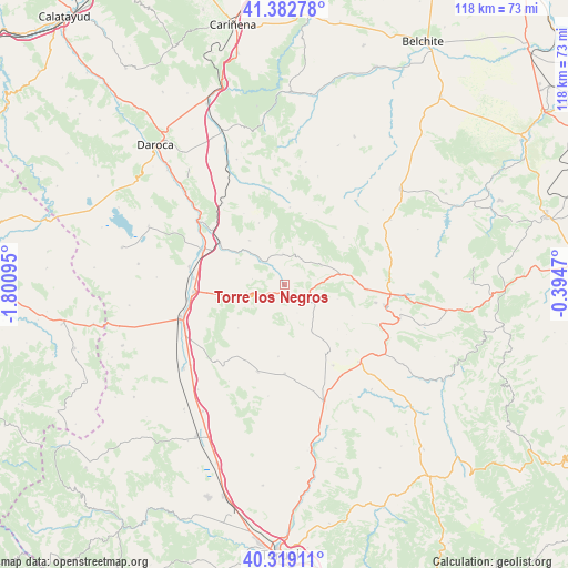
Torre los Negros GPS coordinates[2]
40° 51' 11.088" North, 1° 5' 52.152" West
| Map corner | latitude | longitude |
|---|---|---|
| Upper-left | 41.38278°, | -1.80095° |
| Center: | 40.85308°, | -1.09782° |
| Lower-right: | 40.31911°, | -0.3947° |
| Map W x H: | 118.3×118.3 km | = 73.5×73.5mi |
| max Lat: | 43.74134° ⇑54.9% North |
| Torre los Negros: | 40.85308° |
| min Lat: | ⇓45.1% South 27.64134° |
| min Long | Torre los Negro | max Long |
| -18.00367° | -1.09782° | 4.2899° |
| W 76.3%⇐ | ⇒23.7% E |
Elevation
Elevation of Torre los Negros is 1081 m = 3547 ft, and this is 483 m = 1585 ft above average elevation for this country.
| Max E: |
1682 m = 5518 ft | 7.6% |
| Torre los Negros | 1081 m 3547 ft | |
| Avg. | 598 m = 1962 ft | |
Min E: |
0 m = 0 ft | 92.4% |
See also: Spain elevation on elevation.city.
Geographical zone
Torre los Negros is located in North temperate zone (between Tropic of Cancer and the Arctic Circle). Distance of this Northern Tropic circle is 1936.5 km =1203.3 mi to South.| Distance of | km | miles | from Torre los Negros |
|---|---|---|---|
| North Pole | 5464.6 | 3395.5 | to North |
| Arctic Circle | 2858.7 | 1776.3 | to North |
| Tropic Cancer | 1936.5 | 1203.3 | to South |
| Equator | 4542.4 | 2822.5 | to South |


Nearby cities:
15 places around Torre los Negros: (largest is in red/bold)
• Allueva
15.4 km =9.6 mi,  17°
17°
• Alpeñés
6.5 km =4 mi,  155°
155°
• Barrachina
6 km =3.7 mi,  324°
324°
• Bañón
8 km =5 mi,  258°
258°
• Cosa
3.9 km =2.4 mi,  236°
236°
• Fonfría
15.9 km =9.9 mi,  3°
3°
• Fuenferrada
7.5 km =4.7 mi,  76°
76°
• Lidón
15.2 km =9.4 mi,  184°
184°
• Pancrudo
11.6 km =7.2 mi,  150°
150°
• Rubielos de la Cérida
13.3 km =8.3 mi,  226°
226°
• Salcedillo
14.4 km =8.9 mi,  32°
32°
• Segura de los Baños
15.7 km =9.8 mi,  51°
51°
• Torrecilla del Rebollar
6.7 km =4.2 mi, 18°
• Villanueva del Rebollar de la Sierra
8.6 km =5.3 mi,  60°
60°
• Vivel del Río Martín
13.5 km =8.4 mi, 81°
Sources, notices
• [Note1] Compared only with cities in Spain existing in our database
• [Src1] Map data: © OpenStreetMap contributors (CC-BY-SA)
• [Src2] Other city data from geonames.org with taken over terms of usage.
• [Src3] Geographical zone / Annual Mean Temperature by Robert A. Rohde @ Wikipedia
