Mahide geodata
Mahide (Castille and León) is a seat of a third-order administrative division; located in Spain in Europe/Madrid (GMT+2) time zone. With population of 476 people, there are 3943 cities with bigger population in this country. Compared to other cities in Spain, 70.3% of cities are located further ↓South; 90.1% of cities are located further →East and 71.8% of cities have lower elevation than Mahide. Note1


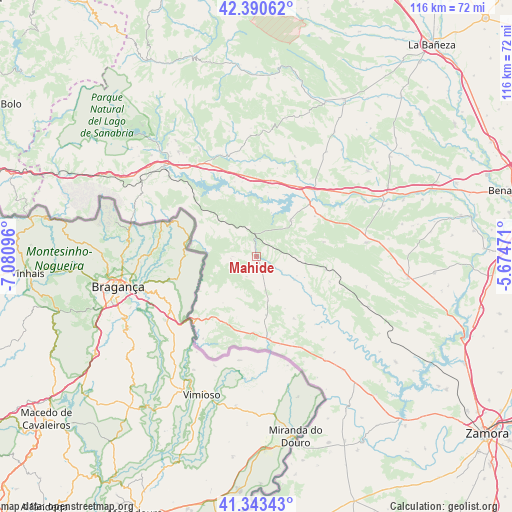
Mahide GPS coordinates[2]
41° 52' 9.012" North, 6° 22' 40.224" West
| Map corner | latitude | longitude |
|---|---|---|
| Upper-left | 42.39062°, | -7.08096° |
| Center: | 41.86917°, | -6.37784° |
| Lower-right: | 41.34343°, | -5.67471° |
| Map W x H: | 116.4×116.4 km | = 72.3×72.3mi |
| max Lat: | 43.74134° ⇑29.7% North |
| Mahide: | 41.86917° |
| min Lat: | ⇓70.3% South 27.64134° |
| min Long | Mahide | max Long |
| -18.00367° | -6.37784° | 4.2899° |
| W 9.9%⇐ | ⇒90.1% E |
Elevation
Elevation of Mahide is 826 m = 2710 ft, and this is 228 m = 748 ft above average elevation for this country.
| Max E: |
1682 m = 5518 ft | 28.2% |
| Mahide | 826 m 2710 ft | |
| Avg. | 598 m = 1962 ft | |
Min E: |
0 m = 0 ft | 71.8% |
See also: Spain elevation on elevation.city.
Geographical zone
Mahide is located in North temperate zone (between Tropic of Cancer and the Arctic Circle). Distance of this Northern Tropic circle is 2049.5 km =1273.5 mi to South.| Distance of | km | miles | from Mahide |
|---|---|---|---|
| North Pole | 5351.6 | 3325.3 | to North |
| Arctic Circle | 2745.8 | 1706.2 | to North |
| Tropic Cancer | 2049.5 | 1273.5 | to South |
| Equator | 4655.4 | 2892.7 | to South |


Nearby cities:
15 places around Mahide: (largest is in red/bold)
• Alcañices
19.1 km =11.9 mi,  172°
172°
• Cernadilla
17.2 km =10.7 mi,  349°
349°
• Ferreras de Arriba
15.5 km =9.6 mi,  77°
77°
• Figueruela de Arriba
5.5 km =3.4 mi,  269°
269°
• Manzanal de Arriba
14.6 km =9.1 mi,  339°
339°
• Mombuey
17.5 km =10.9 mi,  12°
12°
• Otero de Bodas
20.4 km =12.7 mi,  67°
67°
• Rabanales
16.4 km =10.2 mi,  149°
149°
• Rábano de Aliste
14.6 km =9.1 mi,  198°
198°
• Ríofrío de Aliste
17.6 km =10.9 mi,  109°
109°
• San Vicente de la Cabeza
12.7 km =7.9 mi,  123°
123°
• San Vitero
10.5 km =6.5 mi, 166°
• Trabazos
16.4 km =10.2 mi,  214°
214°
• Villardeciervos
11.1 km =6.9 mi,  43°
43°
• Viñas
13.2 km =8.2 mi,  215°
215°
Sources, notices
• [Note1] Compared only with cities in Spain existing in our database
• [Src1] Map data: © OpenStreetMap contributors (CC-BY-SA)
• [Src2] Other city data from geonames.org with taken over terms of usage.
• [Src3] Geographical zone / Annual Mean Temperature by Robert A. Rohde @ Wikipedia
