Larraga geodata
Larraga (Navarre) is a seat of a third-order administrative division; located in Spain in Europe/Madrid (GMT+2) time zone. With population of 1,959 people, there are 2200 cities with bigger population in this country. Compared to other cities in Spain, 88.4% of cities are located further ↓South; 69% of cities are located further ←West and 69.5% of cities have higher elevation than Larraga. Note1


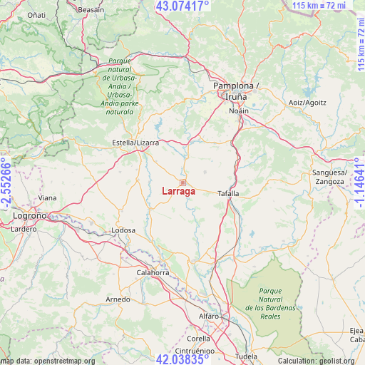
Larraga GPS coordinates[2]
42° 33' 30.276" North, 1° 50' 58.344" West
| Map corner | latitude | longitude |
|---|---|---|
| Upper-left | 43.07417°, | -2.55266° |
| Center: | 42.55841°, | -1.84954° |
| Lower-right: | 42.03835°, | -1.14641° |
| Map W x H: | 115.2×115.2 km | = 71.6×71.6mi |
| max Lat: | 43.74134° ⇑11.6% North |
| Larraga: | 42.55841° |
| min Lat: | ⇓88.4% South 27.64134° |
| min Long | Larraga | max Long |
| -18.00367° | -1.84954° | 4.2899° |
| W 69%⇐ | ⇒31% E |
Elevation
Elevation of Larraga is 392 m = 1286 ft, and this is 206 m = 676 ft below average elevation for this country.
| Max E: |
1682 m = 5518 ft | 69.5% |
| Avg. | 598 m = 1962 ft | |
| Larraga | 392 m = 1286 ft | |
Min E: |
0 m = 0 ft | 30.5% |
See also: Spain elevation on elevation.city.
Geographical zone
Larraga is located in North temperate zone (between Tropic of Cancer and the Arctic Circle). Distance of this Northern Tropic circle is 2126.1 km =1321.1 mi to South.| Distance of | km | miles | from Larraga |
|---|---|---|---|
| North Pole | 5275 | 3277.7 | to North |
| Arctic Circle | 2669.1 | 1658.5 | to North |
| Tropic Cancer | 2126.1 | 1321.1 | to South |
| Equator | 4732.1 | 2940.4 | to South |


Nearby cities:
15 places around Larraga: (largest is in red/bold)
• Allo
14 km =8.7 mi,  274°
274°
• Artajona
7.7 km =4.8 mi,  64°
64°
• Artazu
14.9 km =9.3 mi,  3°
3°
• Berbinzana
3.6 km =2.2 mi,  159°
159°
• Cirauqui
13.5 km =8.4 mi,  345°
345°
• Dicastillo
15.1 km =9.4 mi,  286°
286°
• Lerín
13.1 km =8.1 mi,  230°
230°
• Mañeru
12.5 km =7.8 mi, 354°
• Mendigorría
7.9 km =4.9 mi,  9°
9°
• Miranda de Arga
8.5 km =5.3 mi,  167°
167°
• Morentin
14.8 km =9.2 mi, 294°
• Obanos
14.6 km =9.1 mi,  21°
21°
• Oteiza
10.9 km =6.8 mi,  308°
308°
• Puente la Reina
13.1 km =8.1 mi, 12°
• Tafalla
14.8 km =9.2 mi,  103°
103°
Sources, notices
• [Note1] Compared only with cities in Spain existing in our database
• [Src1] Map data: © OpenStreetMap contributors (CC-BY-SA)
• [Src2] Other city data from geonames.org with taken over terms of usage.
• [Src3] Geographical zone / Annual Mean Temperature by Robert A. Rohde @ Wikipedia
