Hervás geodata
Hervás (Extremadura) is a seat of a third-order administrative division; located in Spain in Europe/Madrid (GMT+2) time zone. With population of 3,823 people, there are 1508 cities with bigger population in this country. Compared to other cities in Spain, 66.2% of cities are located further ↑North; 84.1% of cities are located further →East and 50.5% of cities have lower elevation than Hervás. Note1


Hervás GPS coordinates[2]
40° 16' 14.916" North, 5° 52' 1.956" West
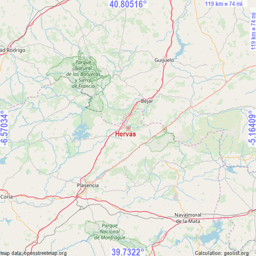
| Map corner | latitude | longitude |
|---|---|---|
| Upper-left | 40.80516°, | -6.57034° |
| Center: | 40.27081°, | -5.86721° |
| Lower-right: | 39.7322°, | -5.16409° |
| Map W x H: | 119.3×119.3 km | = 74.1×74.1mi |
| max Lat: | 43.74134° ⇑66.2% North |
| Hervás: | 40.27081° |
| min Lat: | ⇓33.8% South 27.64134° |
| min Long | Hervás | max Long |
| -18.00367° | -5.86721° | 4.2899° |
| W 15.9%⇐ | ⇒84.1% E |
Elevation
Elevation of Hervás is 664 m = 2178 ft, and this is 66 m = 217 ft above average elevation for this country.
| Max E: |
1682 m = 5518 ft | 49.5% |
| Hervás | 664 m 2178 ft | |
| Avg. | 598 m = 1962 ft | |
Min E: |
0 m = 0 ft | 50.5% |
See also: Spain elevation on elevation.city.
Geographical zone
Hervás is located in North temperate zone (between Tropic of Cancer and the Arctic Circle). Distance of this Northern Tropic circle is 1871.8 km =1163.1 mi to South.| Distance of | km | miles | from Hervás |
|---|---|---|---|
| North Pole | 5529.4 | 3435.8 | to North |
| Arctic Circle | 2923.5 | 1816.6 | to North |
| Tropic Cancer | 1871.8 | 1163.1 | to South |
| Equator | 4477.7 | 2782.3 | to South |


Nearby cities:
15 places around Hervás: (largest is in red/bold)
• Abadía
9.5 km =5.9 mi,  262°
262°
• Aldeanueva del Camino
5.4 km =3.4 mi, 256°
• Baños de Montemayor
5.1 km =3.2 mi,  6°
6°
• Cabezuela del Valle
10 km =6.2 mi,  149°
149°
• Casas del Monte
11 km =6.8 mi,  226°
226°
• El Cerro
6.6 km =4.1 mi,  320°
320°
• Gargantilla
5.2 km =3.2 mi,  241°
241°
• Jerte
11.3 km =7 mi,  118°
118°
• La Garganta
7.5 km =4.7 mi,  30°
30°
• Lagunilla
10.7 km =6.6 mi,  304°
304°
• Montemayor del Río
8.9 km =5.5 mi,  345°
345°
• Navaconcejo
10.9 km =6.8 mi,  163°
163°
• Peñacaballera
8.1 km =5 mi,  3°
3°
• Puerto de Béjar
9.2 km =5.7 mi,  15°
15°
• Segura de Toro
8.6 km =5.3 mi, 233°
Sources, notices
• [Note1] Compared only with cities in Spain existing in our database
• [Src1] Map data: © OpenStreetMap contributors (CC-BY-SA)
• [Src2] Other city data from geonames.org with taken over terms of usage.
• [Src3] Geographical zone / Annual Mean Temperature by Robert A. Rohde @ Wikipedia
