Gemuño geodata
Gemuño (Castille and León) is a seat of a third-order administrative division; located in Spain in Europe/Madrid (GMT+2) time zone. With population of 187 people, there are 5129 cities with bigger population in this country. Compared to other cities in Spain, 60% of cities are located further ↑North; 69.5% of cities are located further →East and 93.5% of cities have lower elevation than Gemuño. Note1


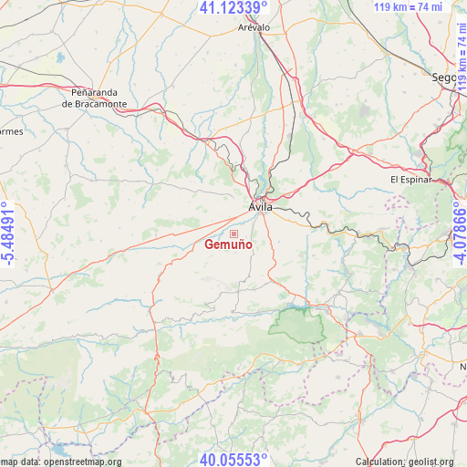
Gemuño GPS coordinates[2]
40° 35' 29.724" North, 4° 46' 54.408" West
| Map corner | latitude | longitude |
|---|---|---|
| Upper-left | 41.12339°, | -5.48491° |
| Center: | 40.59159°, | -4.78178° |
| Lower-right: | 40.05553°, | -4.07866° |
| Map W x H: | 118.7×118.7 km | = 73.8×73.8mi |
| max Lat: | 43.74134° ⇑60% North |
| Gemuño: | 40.59159° |
| min Lat: | ⇓40% South 27.64134° |
| min Long | Gemuño | max Long |
| -18.00367° | -4.78178° | 4.2899° |
| W 30.5%⇐ | ⇒69.5% E |
Elevation
Elevation of Gemuño is 1105 m = 3625 ft, and this is 507 m = 1663 ft above average elevation for this country.
| Max E: |
1682 m = 5518 ft | 6.5% |
| Gemuño | 1105 m 3625 ft | |
| Avg. | 598 m = 1962 ft | |
Min E: |
0 m = 0 ft | 93.5% |
See also: Spain elevation on elevation.city.
Geographical zone
Gemuño is located in North temperate zone (between Tropic of Cancer and the Arctic Circle). Distance of this Northern Tropic circle is 1907.4 km =1185.2 mi to South.| Distance of | km | miles | from Gemuño |
|---|---|---|---|
| North Pole | 5493.7 | 3413.6 | to North |
| Arctic Circle | 2887.8 | 1794.4 | to North |
| Tropic Cancer | 1907.4 | 1185.2 | to South |
| Equator | 4513.4 | 2804.5 | to South |


Nearby cities:
15 places around Gemuño: (largest is in red/bold)
• Martiherrero
9.2 km =5.7 mi,  0°
0°
• Mironcillo
5.5 km =3.4 mi,  221°
221°
• Muñogalindo
10 km =6.2 mi,  277°
277°
• Muñopepe
5.7 km =3.5 mi,  326°
326°
• Navalmoral
14.6 km =9.1 mi,  175°
175°
• Niharra
4.8 km =3 mi,  267°
267°
• Padiernos
6.3 km =3.9 mi,  301°
301°
• Salobral
3.3 km =2.1 mi,  313°
313°
• San Juan de la Nava
15.1 km =9.4 mi,  146°
146°
• San Juan del Molinillo
15 km =9.3 mi,  191°
191°
• Sanchorreja
13.9 km =8.6 mi, 305°
• Solosancho
11.2 km =7 mi,  247°
247°
• Sotalbo
7.7 km =4.8 mi, 224°
• Tornadizos de Ávila
14.7 km =9.1 mi,  74°
74°
• Ávila
10.1 km =6.3 mi,  43°
43°
Sources, notices
• [Note1] Compared only with cities in Spain existing in our database
• [Src1] Map data: © OpenStreetMap contributors (CC-BY-SA)
• [Src2] Other city data from geonames.org with taken over terms of usage.
• [Src3] Geographical zone / Annual Mean Temperature by Robert A. Rohde @ Wikipedia
