Kuttu geodata
Kuttu (Chuuk) is a seat of a second-order administrative division; located in Micronesia in Pacific/Chuuk (GMT+10) time zone. In our database, there are 19 cities with bigger population. Compared to other cities in Micronesia, 83.3% of cities are located further ↑North; 58.3% of cities are located further ←West and 78.3% of cities have higher elevation than Kuttu. Note1


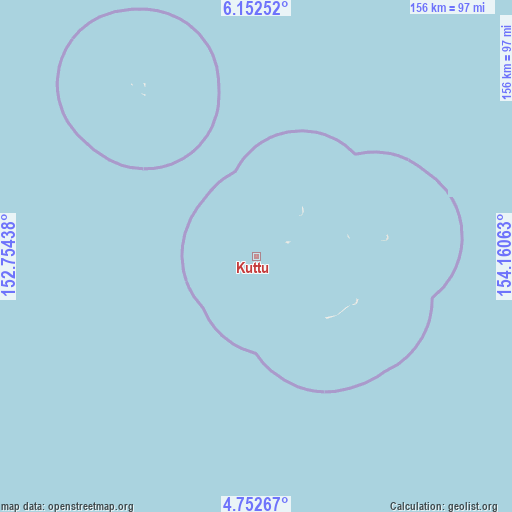
Kuttu GPS coordinates[2]
5° 27' 10.8" North, 153° 27' 27" East
| Map corner | latitude | longitude |
|---|---|---|
| Upper-left | 6.15252°, | 152.75438° |
| Center: | 5.453°, | 153.4575° |
| Lower-right: | 4.75267°, | 154.16063° |
| Map W x H: | 155.6×155.7 km | = 96.7×96.7mi |
| max Lat: | 9.766° ⇑83.3% North |
| Kuttu: | 5.453° |
| min Lat: | ⇓16.7% South 1.07861° |
| min Long | Kuttu | max Long |
| 137.484° | 153.4575° | 163.02609° |
| W 58.3%⇐ | ⇒41.7% E |
Elevation
Elevation of Kuttu is 6 m = 20 ft, and this is 8.8 m = 29 ft below average elevation for this country.
| Max E: |
92 m = 302 ft | 78.3% |
| Avg. | 14.8 m = 49 ft | |
| Kuttu | 6 m = 20 ft | |
Min E: |
1 m = 3 ft | 21.7% |
See also: Micronesia elevation on elevation.city.
Geographical zone
Kuttu is located in North Torrid zone (between Equator and Tropic of Cancer). Distance of Equator is 606.3 km =376.7 mi to South.| Distance of | km | miles | from Kuttu |
|---|---|---|---|
| North Pole | 9400.7 | 5841.3 | to North |
| Arctic Circle | 6794.9 | 4222.2 | to North |
| Tropic Cancer | 1999.6 | 1242.5 | to North |
| Equator | 606.3 | 376.7 | to South |


Nearby cities:
15 places around Kuttu: (largest is in red/bold)
• Ettal
19.4 km =12.1 mi,  37°
37°
• Kuttu Village
0.5 km =0.3 mi,  29°
29°
• Losap
178.8 km =111.1 mi,  333°
333°
• Lukunor
40.6 km =25.2 mi,  81°
81°
• Lukunor Village
40.7 km =25.3 mi, 81°
• Moch
10.1 km =6.3 mi,  64°
64°
• Moch Village
10.1 km =6.3 mi, 64°
• Namoluk
62.2 km =38.6 mi, 325°
• Nema
196.8 km =122.3 mi, 330°
• Oneop
28.6 km =17.8 mi, 77°
• Oneop Village
28.7 km =17.8 mi, 78°
• Piis
174.8 km =108.6 mi, 331°
• Satowan
33.8 km =21 mi,  113°
113°
• Satowan Village
33.8 km =21 mi, 113°
• Ta
28.2 km =17.5 mi,  131°
131°
Sources, notices
• [Note1] Compared only with cities in Micronesia existing in our database
• [Src1] Map data: © OpenStreetMap contributors (CC-BY-SA)
• [Src2] Other city data from geonames.org with taken over terms of usage.
• [Src3] Geographical zone / Annual Mean Temperature by Robert A. Rohde @ Wikipedia
