Namoluk geodata
Namoluk (Chuuk) is a seat of a second-order administrative division; located in Micronesia in Pacific/Chuuk (GMT+10) time zone. In our database, there are 19 cities with bigger population. Compared to other cities in Micronesia, 66.7% of cities are located further ↑North; 56.7% of cities are located further ←West and 83.3% of cities have higher elevation than Namoluk. Note1


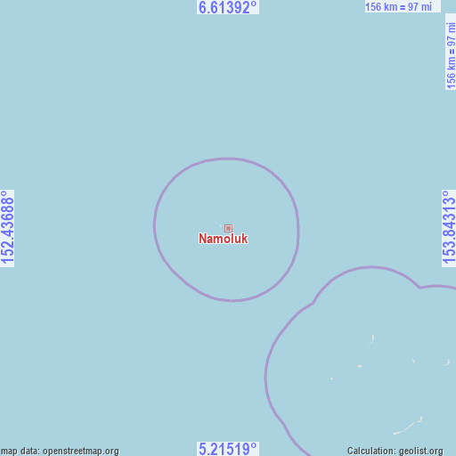
Namoluk GPS coordinates[2]
5° 54' 54" North, 153° 8' 24" East
| Map corner | latitude | longitude |
|---|---|---|
| Upper-left | 6.61392°, | 152.43688° |
| Center: | 5.915°, | 153.14° |
| Lower-right: | 5.21519°, | 153.84313° |
| Map W x H: | 155.5×155.5 km | = 96.6×96.6mi |
| max Lat: | 9.766° ⇑66.7% North |
| Namoluk: | 5.915° |
| min Lat: | ⇓33.3% South 1.07861° |
| min Long | Namoluk | max Long |
| 137.484° | 153.14° | 163.02609° |
| W 56.7%⇐ | ⇒43.3% E |
Elevation
Elevation of Namoluk is 5 m = 16 ft, and this is 9.8 m = 32 ft below average elevation for this country.
| Max E: |
92 m = 302 ft | 83.3% |
| Avg. | 14.8 m = 49 ft | |
| Namoluk | 5 m = 16 ft | |
Min E: |
1 m = 3 ft | 16.7% |
See also: Micronesia elevation on elevation.city.
Geographical zone
Namoluk is located in North Torrid zone (between Equator and Tropic of Cancer). Distance of Equator is 657.7 km =408.7 mi to South.| Distance of | km | miles | from Namoluk |
|---|---|---|---|
| North Pole | 9349.4 | 5809.4 | to North |
| Arctic Circle | 6743.5 | 4190.2 | to North |
| Tropic Cancer | 1948.2 | 1210.6 | to North |
| Equator | 657.7 | 408.7 | to South |


Nearby cities:
15 places around Namoluk: (largest is in red/bold)
• Ettal
59.1 km =36.7 mi,  127°
127°
• Kuttu
62.2 km =38.6 mi,  145°
145°
• Kuttu Village
62 km =38.5 mi, 145°
• Losap
117.5 km =73 mi,  337°
337°
• Lukunor
87.9 km =54.6 mi,  121°
121°
• Lukunor Village
87.9 km =54.6 mi, 121°
• Moch
64.6 km =40.1 mi,  136°
136°
• Moch Village
64.6 km =40.1 mi, 136°
• Nema
134.8 km =83.8 mi,  332°
332°
• Oneop
77.8 km =48.3 mi, 125°
• Oneop Village
77.8 km =48.3 mi, 125°
• Piis
113.1 km =70.3 mi, 334°
• Satowan
92.5 km =57.5 mi, 134°
• Satowan Village
92.5 km =57.5 mi, 134°
• Ta
89.9 km =55.9 mi, 141°
Sources, notices
• [Note1] Compared only with cities in Micronesia existing in our database
• [Src1] Map data: © OpenStreetMap contributors (CC-BY-SA)
• [Src2] Other city data from geonames.org with taken over terms of usage.
• [Src3] Geographical zone / Annual Mean Temperature by Robert A. Rohde @ Wikipedia
