Satowan geodata
Satowan (Chuuk) is a seat of a second-order administrative division; located in Micronesia in Pacific/Chuuk (GMT+10) time zone. In our database, there are 19 cities with bigger population. Compared to other cities in Micronesia, 88.3% of cities are located further ↑North; 71.7% of cities are located further ←West and 86.7% of cities have lower elevation than Satowan. Note1


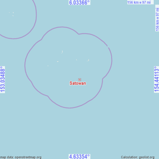
Satowan GPS coordinates[2]
5° 20' 2.4" North, 153° 44' 16.8" East
| Map corner | latitude | longitude |
|---|---|---|
| Upper-left | 6.03366°, | 153.03488° |
| Center: | 5.334°, | 153.738° |
| Lower-right: | 4.63354°, | 154.44113° |
| Map W x H: | 155.7×155.7 km | = 96.7×96.7mi |
| max Lat: | 9.766° ⇑88.3% North |
| Satowan: | 5.334° |
| min Lat: | ⇓11.7% South 1.07861° |
| min Long | Satowan | max Long |
| 137.484° | 153.738° | 163.02609° |
| W 71.7%⇐ | ⇒28.3% E |
Elevation
Elevation of Satowan is 24 m = 79 ft, and this is 9.2 m = 30 ft above average elevation for this country.
| Max E: |
92 m = 302 ft | 13.3% |
| Satowan | 24 m 79 ft | |
| Avg. | 14.8 m = 49 ft | |
Min E: |
1 m = 3 ft | 86.7% |
See also: Micronesia elevation on elevation.city.
Geographical zone
Satowan is located in North Torrid zone (between Equator and Tropic of Cancer). Distance of Equator is 593.1 km =368.5 mi to South.| Distance of | km | miles | from Satowan |
|---|---|---|---|
| North Pole | 9414 | 5849.6 | to North |
| Arctic Circle | 6808.1 | 4230.4 | to North |
| Tropic Cancer | 2012.8 | 1250.7 | to North |
| Equator | 593.1 | 368.5 | to South |


Nearby cities:
15 places around Satowan: (largest is in red/bold)
• Ettal
34.6 km =21.5 mi,  326°
326°
• Kuttu
33.8 km =21 mi,  293°
293°
• Kuttu Village
33.7 km =20.9 mi, 293°
• Losap
205.6 km =127.8 mi, 327°
• Lukunor
21.3 km =13.2 mi,  25°
25°
• Lukunor Village
21.3 km =13.2 mi, 25°
• Moch
28.1 km =17.5 mi,  308°
308°
• Moch Village
28 km =17.4 mi, 308°
• Namoluk
92.5 km =57.5 mi, 314°
• Nukuoro
215.5 km =133.9 mi,  140°
140°
• Oneop
19.4 km =12.1 mi,  350°
350°
• Oneop Village
19.4 km =12.1 mi, 351°
• Piis
202.4 km =125.8 mi, 325°
• Satowan Village
0.1 km =0.1 mi,  90°
90°
• Ta
11.4 km =7.1 mi,  240°
240°
Sources, notices
• [Note1] Compared only with cities in Micronesia existing in our database
• [Src1] Map data: © OpenStreetMap contributors (CC-BY-SA)
• [Src2] Other city data from geonames.org with taken over terms of usage.
• [Src3] Geographical zone / Annual Mean Temperature by Robert A. Rohde @ Wikipedia
