Tréglamus geodata
Tréglamus (Brittany) is a populated place; located in France in Europe/Paris (GMT+2) time zone. With population of 867 people, there are 9921 cities with bigger population in this country. Compared to other cities in France, 69.7% of cities are located further ↓South; 97.9% of cities are located further →East and 69% of cities have lower elevation than Tréglamus. Note1
Administrative division(s):
- Level 1: Brittany
- Level 2: Département des Côtes-d’Armor
- Level 3: Arrondissement de Guingamp
- Level 4: Tréglamus


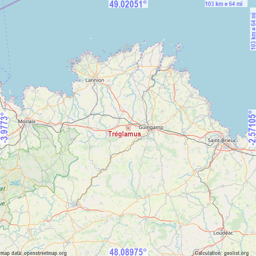
Tréglamus GPS coordinates[2]
48° 33' 26.172" North, 3° 16' 27.012" West
| Map corner | latitude | longitude |
|---|---|---|
| Upper-left | 49.02051°, | -3.9773° |
| Center: | 48.55727°, | -3.27417° |
| Lower-right: | 48.08975°, | -2.57105° |
| Map W x H: | 103.5×103.5 km | = 64.3×64.3mi |
| max Lat: | 51.07786° ⇑30.3% North |
| Tréglamus: | 48.55727° |
| min Lat: | ⇓69.7% South 41.3874° |
| min Long | Tréglamus | max Long |
| -5.08615° | -3.27417° | 9.52242° |
| W 2.1%⇐ | ⇒97.9% E |
Elevation
Elevation of Tréglamus is 214 m = 702 ft, and this is 20.3 m = 67 ft above average elevation for this country.
| Max E: |
2333 m = 7654 ft | 31% |
| Tréglamus | 214 m 702 ft | |
| Avg. | 193.7 m = 635 ft | |
Min E: |
-1 m = -3 ft | 69% |
See also: France elevation on elevation.city.
Geographical zone
Tréglamus is located in North temperate zone (between Tropic of Cancer and the Arctic Circle). Distance of this North polar circle is 2002.1 km =1244 mi to North.| Distance of | km | miles | from Tréglamus |
|---|---|---|---|
| North Pole | 4608 | 2863.3 | to North |
| Arctic Circle | 2002.1 | 1244 | to North |
| Tropic Cancer | 2793.1 | 1735.6 | to South |
| Equator | 5399.1 | 3354.8 | to South |


Nearby cities:
15 places around Tréglamus: (largest is in red/bold)
• Belle-Isle-en-Terre
9 km =5.6 mi,  261°
261°
• Bourbriac
11.3 km =7 mi,  145°
145°
• Bégard
8.1 km =5 mi,  345°
345°
• Coadout
7.8 km =4.8 mi,  124°
124°
• Grâces
6.5 km =4 mi,  90°
90°
• Guingamp
9.1 km =5.7 mi, 86°
• Louargat
4.8 km =3 mi,  281°
281°
• Moustéru
5.1 km =3.2 mi, 150°
• Pabu
10.7 km =6.6 mi,  72°
72°
• Plougonver
11.1 km =6.9 mi,  223°
223°
• Plouisy
7 km =4.3 mi, 70°
• Ploumagoar
10.5 km =6.5 mi,  97°
97°
• Pluzunet
11.7 km =7.3 mi,  322°
322°
• Pont-Melvez
11.1 km =6.9 mi,  192°
192°
• Pédernec
4.4 km =2.7 mi,  4°
4°
Sources, notices
• [Note1] Compared only with cities in France existing in our database
• [Src1] Map data: © OpenStreetMap contributors (CC-BY-SA)
• [Src2] Other city data from geonames.org with taken over terms of usage.
• [Src3] Geographical zone / Annual Mean Temperature by Robert A. Rohde @ Wikipedia
