Tourbes geodata
Tourbes (Occitanie) is a populated place; located in France in Europe/Paris (GMT+2) time zone. With population of 1,650 people, there are 5666 cities with bigger population in this country. Compared to other cities in France, 93.8% of cities are located further ↑North; 62.9% of cities are located further ←West and 75% of cities have higher elevation than Tourbes. Note1
Administrative division(s):
- Level 1: Occitanie
- Level 2: Département de l'Hérault
- Level 3: Arrondissement de Béziers
- Level 4: Tourbes


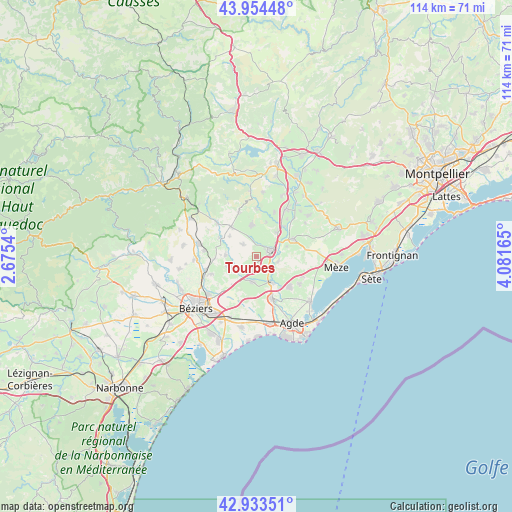
Tourbes GPS coordinates[2]
43° 26' 46.14" North, 3° 22' 42.672" East
| Map corner | latitude | longitude |
|---|---|---|
| Upper-left | 43.95448°, | 2.6754° |
| Center: | 43.44615°, | 3.37852° |
| Lower-right: | 42.93351°, | 4.08165° |
| Map W x H: | 113.5×113.5 km | = 70.5×70.5mi |
| max Lat: | 51.07786° ⇑93.8% North |
| Tourbes: | 43.44615° |
| min Lat: | ⇓6.2% South 41.3874° |
| min Long | Tourbes | max Long |
| -5.08615° | 3.37852° | 9.52242° |
| W 62.9%⇐ | ⇒37.1% E |
Elevation
Elevation of Tourbes is 67 m = 220 ft, and this is 126.7 m = 416 ft below average elevation for this country.
| Max E: |
2333 m = 7654 ft | 75% |
| Avg. | 193.7 m = 635 ft | |
| Tourbes | 67 m = 220 ft | |
Min E: |
-1 m = -3 ft | 25% |
See also: France elevation on elevation.city.
Geographical zone
Tourbes is located in North temperate zone (between Tropic of Cancer and the Arctic Circle). Distance of this Northern Tropic circle is 2224.8 km =1382.4 mi to South.| Distance of | km | miles | from Tourbes |
|---|---|---|---|
| North Pole | 5176.3 | 3216.4 | to North |
| Arctic Circle | 2570.4 | 1597.2 | to North |
| Tropic Cancer | 2224.8 | 1382.4 | to South |
| Equator | 4830.8 | 3001.7 | to South |


Nearby cities:
15 places around Tourbes: (largest is in red/bold)
• Abeilhan
6.7 km =4.2 mi,  272°
272°
• Alignan-du-Vent
3.9 km =2.4 mi,  311°
311°
• Castelnau-de-Guers
4.9 km =3 mi,  105°
105°
• Caux
6.7 km =4.2 mi,  352°
352°
• Espondeilhan
9.3 km =5.8 mi, 266°
• Lézignan-la-Cèbe
7.1 km =4.4 mi,  41°
41°
• Montagnac
9.3 km =5.8 mi,  65°
65°
• Montblanc
5.8 km =3.6 mi,  188°
188°
• Nizas
7.9 km =4.9 mi,  17°
17°
• Pouzolles
9 km =5.6 mi,  297°
297°
• Pézenas
3.9 km =2.4 mi, 67°
• Roujan
8.5 km =5.3 mi,  320°
320°
• Saint-Thibéry
6.4 km =4 mi,  150°
150°
• Servian
6.7 km =4.2 mi,  251°
251°
• Valros
3.1 km =1.9 mi,  200°
200°
Sources, notices
• [Note1] Compared only with cities in France existing in our database
• [Src1] Map data: © OpenStreetMap contributors (CC-BY-SA)
• [Src2] Other city data from geonames.org with taken over terms of usage.
• [Src3] Geographical zone / Annual Mean Temperature by Robert A. Rohde @ Wikipedia
