Roujan geodata
Roujan (Occitanie) is a populated place; located in France in Europe/Paris (GMT+2) time zone. With population of 1,684 people, there are 5564 cities with bigger population in this country. Compared to other cities in France, 93% of cities are located further ↑North; 62.1% of cities are located further ←West and 53.3% of cities have higher elevation than Roujan. Note1
Administrative division(s):
- Level 1: Occitanie
- Level 2: Département de l'Hérault
- Level 3: Arrondissement de Béziers
- Level 4: Roujan


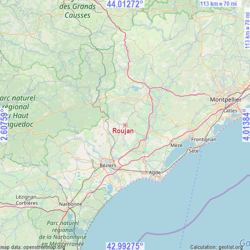
Roujan GPS coordinates[2]
43° 30' 17.604" North, 3° 18' 38.556" East
| Map corner | latitude | longitude |
|---|---|---|
| Upper-left | 44.01272°, | 2.60759° |
| Center: | 43.50489°, | 3.31071° |
| Lower-right: | 42.99275°, | 4.01384° |
| Map W x H: | 113.4×113.4 km | = 70.5×70.5mi |
| max Lat: | 51.07786° ⇑93% North |
| Roujan: | 43.50489° |
| min Lat: | ⇓7% South 41.3874° |
| min Long | Roujan | max Long |
| -5.08615° | 3.31071° | 9.52242° |
| W 62.1%⇐ | ⇒37.9% E |
Elevation
Elevation of Roujan is 121 m = 397 ft, and this is 72.7 m = 239 ft below average elevation for this country.
| Max E: |
2333 m = 7654 ft | 53.3% |
| Avg. | 193.7 m = 635 ft | |
| Roujan | 121 m = 397 ft | |
Min E: |
-1 m = -3 ft | 46.7% |
See also: France elevation on elevation.city.
Geographical zone
Roujan is located in North temperate zone (between Tropic of Cancer and the Arctic Circle). Distance of this Northern Tropic circle is 2231.4 km =1386.5 mi to South.| Distance of | km | miles | from Roujan |
|---|---|---|---|
| North Pole | 5169.8 | 3212.4 | to North |
| Arctic Circle | 2563.9 | 1593.1 | to North |
| Tropic Cancer | 2231.4 | 1386.5 | to South |
| Equator | 4837.3 | 3005.8 | to South |


Nearby cities:
15 places around Roujan: (largest is in red/bold)
• Abeilhan
6.3 km =3.9 mi,  191°
191°
• Adissan
9.9 km =6.2 mi,  70°
70°
• Alignan-du-Vent
4.7 km =2.9 mi,  147°
147°
• Caux
4.5 km =2.8 mi,  88°
88°
• Espondeilhan
8 km =5 mi,  208°
208°
• Fontès
6.8 km =4.2 mi,  55°
55°
• Gabian
3.1 km =1.9 mi,  287°
287°
• Laurens
9.4 km =5.8 mi,  281°
281°
• Magalas
8 km =5 mi,  241°
241°
• Neffiès
3.7 km =2.3 mi,  29°
29°
• Nizas
7.9 km =4.9 mi,  83°
83°
• Pouzolles
3.5 km =2.2 mi,  226°
226°
• Puissalicon
7.9 km =4.9 mi, 228°
• Servian
8.7 km =5.4 mi, 185°
• Tourbes
8.5 km =5.3 mi,  140°
140°
Sources, notices
• [Note1] Compared only with cities in France existing in our database
• [Src1] Map data: © OpenStreetMap contributors (CC-BY-SA)
• [Src2] Other city data from geonames.org with taken over terms of usage.
• [Src3] Geographical zone / Annual Mean Temperature by Robert A. Rohde @ Wikipedia
