Saivres geodata
Saivres (Nouvelle-Aquitaine) is a populated place; located in France in Europe/Paris (GMT+2) time zone. With population of 1,218 people, there are 7443 cities with bigger population in this country. Compared to other cities in France, 60.8% of cities are located further ↑North; 80.1% of cities are located further →East and 55.9% of cities have higher elevation than Saivres. Note1
Administrative division(s):
- Level 1: Nouvelle-Aquitaine
- Level 2: Département des Deux-Sèvres
- Level 3: Arrondissement de Niort
- Level 4: Saivres


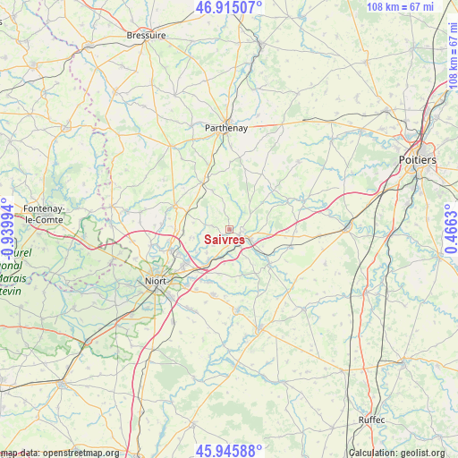
Saivres GPS coordinates[2]
46° 25' 57.468" North, 0° 14' 12.552" West
| Map corner | latitude | longitude |
|---|---|---|
| Upper-left | 46.91507°, | -0.93994° |
| Center: | 46.43263°, | -0.23682° |
| Lower-right: | 45.94588°, | 0.4663° |
| Map W x H: | 107.8×107.8 km | = 67×67mi |
| max Lat: | 51.07786° ⇑60.8% North |
| Saivres: | 46.43263° |
| min Lat: | ⇓39.2% South 41.3874° |
| min Long | Saivres | max Long |
| -5.08615° | -0.23682° | 9.52242° |
| W 19.9%⇐ | ⇒80.1% E |
Elevation
Elevation of Saivres is 114 m = 374 ft, and this is 79.7 m = 261 ft below average elevation for this country.
| Max E: |
2333 m = 7654 ft | 55.9% |
| Avg. | 193.7 m = 635 ft | |
| Saivres | 114 m = 374 ft | |
Min E: |
-1 m = -3 ft | 44.1% |
See also: France elevation on elevation.city.
Geographical zone
Saivres is located in North temperate zone (between Tropic of Cancer and the Arctic Circle). Distance of this North polar circle is 2238.3 km =1390.8 mi to North.| Distance of | km | miles | from Saivres |
|---|---|---|---|
| North Pole | 4844.2 | 3010 | to North |
| Arctic Circle | 2238.3 | 1390.8 | to North |
| Tropic Cancer | 2556.9 | 1588.8 | to South |
| Equator | 5162.8 | 3208 | to South |


Nearby cities:
15 places around Saivres: (largest is in red/bold)
• Augé
4 km =2.5 mi,  281°
281°
• Azay-le-Brûlé
3.6 km =2.2 mi,  192°
192°
• Cherveux
9.4 km =5.8 mi,  258°
258°
• Exireuil
3.4 km =2.1 mi,  89°
89°
• François
10.8 km =6.7 mi,  230°
230°
• La Crèche
8.8 km =5.5 mi,  213°
213°
• La Mothe-Saint-Héray
12.4 km =7.7 mi,  130°
130°
• Nanteuil
5.3 km =3.3 mi,  115°
115°
• Prailles
12.3 km =7.6 mi,  173°
173°
• Romans
8.2 km =5.1 mi,  175°
175°
• Saint-Georges-de-Noisné
6.9 km =4.3 mi,  347°
347°
• Saint-Martin-de-Saint-Maixent
5.3 km =3.3 mi,  141°
141°
• Sainte-Eanne
8.6 km =5.3 mi, 129°
• Sainte-Néomaye
6.9 km =4.3 mi, 194°
• Verruyes
10.2 km =6.3 mi,  336°
336°
Sources, notices
• [Note1] Compared only with cities in France existing in our database
• [Src1] Map data: © OpenStreetMap contributors (CC-BY-SA)
• [Src2] Other city data from geonames.org with taken over terms of usage.
• [Src3] Geographical zone / Annual Mean Temperature by Robert A. Rohde @ Wikipedia
