Saint-Juéry geodata
Saint-Juéry (Occitanie) is a populated place; located in France in Europe/Paris (GMT+2) time zone. With population of 6,997 people, there are 1405 cities with bigger population in this country. Compared to other cities in France, 87.5% of cities are located further ↑North; 54.2% of cities are located further →East and 68.5% of cities have lower elevation than Saint-Juéry. Note1


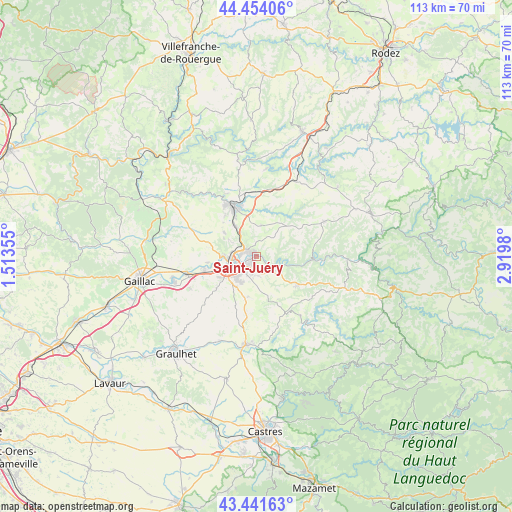
Saint-Juéry GPS coordinates[2]
43° 57' 0" North, 2° 13' 0.012" East
| Map corner | latitude | longitude |
|---|---|---|
| Upper-left | 44.45406°, | 1.51355° |
| Center: | 43.95°, | 2.21667° |
| Lower-right: | 43.44163°, | 2.9198° |
| Map W x H: | 112.6×112.6 km | = 70×70mi |
| max Lat: | 51.07786° ⇑87.5% North |
| Saint-Juéry: | 43.95° |
| min Lat: | ⇓12.5% South 41.3874° |
| min Long | Saint-Juéry | max Long |
| -5.08615° | 2.21667° | 9.52242° |
| W 45.8%⇐ | ⇒54.2% E |
Elevation
Elevation of Saint-Juéry is 211 m = 692 ft, and this is 17.3 m = 57 ft above average elevation for this country.
| Max E: |
2333 m = 7654 ft | 31.5% |
| Saint-Juéry | 211 m 692 ft | |
| Avg. | 193.7 m = 635 ft | |
Min E: |
-1 m = -3 ft | 68.5% |
See also: France elevation on elevation.city.
Geographical zone
Saint-Juéry is located in North temperate zone (between Tropic of Cancer and the Arctic Circle). Distance of this Northern Tropic circle is 2280.9 km =1417.3 mi to South.| Distance of | km | miles | from Saint-Juéry |
|---|---|---|---|
| North Pole | 5120.3 | 3181.6 | to North |
| Arctic Circle | 2514.4 | 1562.4 | to North |
| Tropic Cancer | 2280.9 | 1417.3 | to South |
| Equator | 4886.8 | 3036.5 | to South |


Nearby cities:
15 places around Saint-Juéry: (largest is in red/bold)
• Albi
5.9 km =3.7 mi,  247°
247°
• Arthès
0.9 km =0.6 mi,  332°
332°
• Blaye-les-Mines
11.3 km =7 mi,  322°
322°
• Cagnac-les-Mines
7.1 km =4.4 mi,  302°
302°
• Carlus
11.1 km =6.9 mi,  231°
231°
• Castelnau-de-Lévis
10.6 km =6.6 mi,  263°
263°
• Cunac
2.2 km =1.4 mi,  175°
175°
• Fréjairolles
7.8 km =4.8 mi,  171°
171°
• Le Garric
7.8 km =4.8 mi, 327°
• Le Sequestre
9 km =5.6 mi,  241°
241°
• Puygouzon
6.9 km =4.3 mi,  215°
215°
• Rosières
10.9 km =6.8 mi,  344°
344°
• Saliès
9.6 km =6 mi, 227°
• Valderiès
7 km =4.3 mi,  10°
10°
• Villefranche-d'Albigeois
10.9 km =6.8 mi,  123°
123°
Sources, notices
• [Note1] Compared only with cities in France existing in our database
• [Src1] Map data: © OpenStreetMap contributors (CC-BY-SA)
• [Src2] Other city data from geonames.org with taken over terms of usage.
• [Src3] Geographical zone / Annual Mean Temperature by Robert A. Rohde @ Wikipedia
