Proville geodata
Proville (Hauts-de-France) is a populated place; located in France in Europe/Paris (GMT+2) time zone. With population of 3,607 people, there are 2710 cities with bigger population in this country. Compared to other cities in France, 94.6% of cities are located further ↓South; 60.7% of cities are located further ←West and 81.1% of cities have higher elevation than Proville. Note1
Administrative division(s):
- Level 1: Hauts-de-France
- Level 2: Nord
- Level 3: Arrondissement de Cambrai
- Level 4: Proville


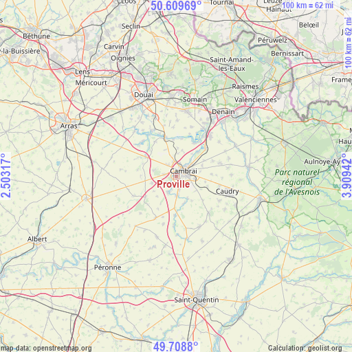
Proville GPS coordinates[2]
50° 9' 40.932" North, 3° 12' 22.644" East
| Map corner | latitude | longitude |
|---|---|---|
| Upper-left | 50.60969°, | 2.50317° |
| Center: | 50.16137°, | 3.20629° |
| Lower-right: | 49.7088°, | 3.90942° |
| Map W x H: | 100.2×100.2 km | = 62.3×62.3mi |
| max Lat: | 51.07786° ⇑5.4% North |
| Proville: | 50.16137° |
| min Lat: | ⇓94.6% South 41.3874° |
| min Long | Proville | max Long |
| -5.08615° | 3.20629° | 9.52242° |
| W 60.7%⇐ | ⇒39.3% E |
Elevation
Elevation of Proville is 52 m = 171 ft, and this is 141.7 m = 465 ft below average elevation for this country.
| Max E: |
2333 m = 7654 ft | 81.1% |
| Avg. | 193.7 m = 635 ft | |
| Proville | 52 m = 171 ft | |
Min E: |
-1 m = -3 ft | 18.9% |
See also: France elevation on elevation.city.
Geographical zone
Proville is located in North temperate zone (between Tropic of Cancer and the Arctic Circle). Distance of this North polar circle is 1823.8 km =1133.3 mi to North.| Distance of | km | miles | from Proville |
|---|---|---|---|
| North Pole | 4429.6 | 2752.4 | to North |
| Arctic Circle | 1823.8 | 1133.3 | to North |
| Tropic Cancer | 2971.5 | 1846.4 | to South |
| Equator | 5577.4 | 3465.6 | to South |


Nearby cities:
15 places around Proville: (largest is in red/bold)
• Awoingt
5.4 km =3.4 mi,  96°
96°
• Bourlon
6.8 km =4.2 mi,  284°
284°
• Cambrai
2.6 km =1.6 mi,  51°
51°
• Escaudœuvres
6.1 km =3.8 mi, 45°
• Fontaine-Notre-Dame
3.5 km =2.2 mi, 279°
• Haynecourt
6.2 km =3.9 mi,  327°
327°
• Marcoing
5.1 km =3.2 mi,  207°
207°
• Masnières
5.2 km =3.2 mi,  177°
177°
• Neuville-Saint-Rémy
3 km =1.9 mi,  24°
24°
• Niergnies
3.9 km =2.4 mi,  113°
113°
• Noyelles-sur-Escaut
3.5 km =2.2 mi, 207°
• Raillencourt-Sainte-Olle
3.7 km =2.3 mi,  310°
310°
• Ramillies
6.3 km =3.9 mi,  38°
38°
• Rumilly-en-Cambrésis
3.9 km =2.4 mi,  166°
166°
• Tilloy-lez-Cambrai
4.4 km =2.7 mi,  9°
9°
Sources, notices
• [Note1] Compared only with cities in France existing in our database
• [Src1] Map data: © OpenStreetMap contributors (CC-BY-SA)
• [Src2] Other city data from geonames.org with taken over terms of usage.
• [Src3] Geographical zone / Annual Mean Temperature by Robert A. Rohde @ Wikipedia
