Plumaugat geodata
Plumaugat (Brittany) is a populated place; located in France in Europe/Paris (GMT+2) time zone. With population of 1,041 people, there are 8531 cities with bigger population in this country. Compared to other cities in France, 63.7% of cities are located further ↓South; 95.6% of cities are located further →East and 55.9% of cities have higher elevation than Plumaugat. Note1
Administrative division(s):
- Level 1: Brittany
- Level 2: Département des Côtes-d’Armor
- Level 3: Arrondissement de Dinan
- Level 4: Plumaugat


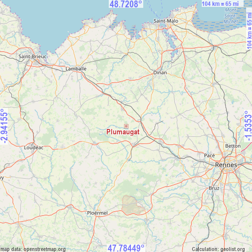
Plumaugat GPS coordinates[2]
48° 15' 17.244" North, 2° 14' 18.348" West
| Map corner | latitude | longitude |
|---|---|---|
| Upper-left | 48.7208°, | -2.94155° |
| Center: | 48.25479°, | -2.23843° |
| Lower-right: | 47.78449°, | -1.5353° |
| Map W x H: | 104.1×104.1 km | = 64.7×64.7mi |
| max Lat: | 51.07786° ⇑36.3% North |
| Plumaugat: | 48.25479° |
| min Lat: | ⇓63.7% South 41.3874° |
| min Long | Plumaugat | max Long |
| -5.08615° | -2.23843° | 9.52242° |
| W 4.4%⇐ | ⇒95.6% E |
Elevation
Elevation of Plumaugat is 114 m = 374 ft, and this is 79.7 m = 261 ft below average elevation for this country.
| Max E: |
2333 m = 7654 ft | 55.9% |
| Avg. | 193.7 m = 635 ft | |
| Plumaugat | 114 m = 374 ft | |
Min E: |
-1 m = -3 ft | 44.1% |
See also: France elevation on elevation.city.
Geographical zone
Plumaugat is located in North temperate zone (between Tropic of Cancer and the Arctic Circle). Distance of this North polar circle is 2035.7 km =1264.9 mi to North.| Distance of | km | miles | from Plumaugat |
|---|---|---|---|
| North Pole | 4641.6 | 2884.2 | to North |
| Arctic Circle | 2035.7 | 1264.9 | to North |
| Tropic Cancer | 2759.5 | 1714.7 | to South |
| Equator | 5365.4 | 3333.9 | to South |


Nearby cities:
15 places around Plumaugat: (largest is in red/bold)
• Broons
7.1 km =4.4 mi,  347°
347°
• Caulnes
7.2 km =4.5 mi,  59°
59°
• Guitté
11.6 km =7.2 mi,  66°
66°
• Lanrelas
4.6 km =2.9 mi,  263°
263°
• Loscouët-sur-Meu
8.5 km =5.3 mi,  181°
181°
• Médréac
12.8 km =8 mi,  83°
83°
• Mégrit
13.4 km =8.3 mi,  356°
356°
• Quédillac
7.1 km =4.4 mi,  95°
95°
• Saint-Méen-le-Grand
7.9 km =4.9 mi,  155°
155°
• Saint-Onen-la-Chapelle
9.9 km =6.2 mi,  151°
151°
• Sévignac
11.4 km =7.1 mi,  319°
319°
• Trémeur
10.4 km =6.5 mi, 349°
• Trémorel
7.2 km =4.5 mi,  210°
210°
• Yvignac-la-Tour
11.3 km =7 mi,  21°
21°
• Éréac
8.3 km =5.2 mi,  285°
285°
Sources, notices
• [Note1] Compared only with cities in France existing in our database
• [Src1] Map data: © OpenStreetMap contributors (CC-BY-SA)
• [Src2] Other city data from geonames.org with taken over terms of usage.
• [Src3] Geographical zone / Annual Mean Temperature by Robert A. Rohde @ Wikipedia
