Sévignac geodata
Sévignac (Brittany) is a populated place; located in France in Europe/Paris (GMT+2) time zone. With population of 1,077 people, there are 8279 cities with bigger population in this country. Compared to other cities in France, 65.2% of cities are located further ↓South; 95.9% of cities are located further →East and 74.1% of cities have higher elevation than Sévignac. Note1
Administrative division(s):
- Level 1: Brittany
- Level 2: Département des Côtes-d’Armor
- Level 3: Arrondissement de Saint-Brieuc
- Level 4: Sévignac


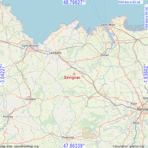
Sévignac GPS coordinates[2]
48° 19' 58.692" North, 2° 20' 20.94" West
| Map corner | latitude | longitude |
|---|---|---|
| Upper-left | 48.79827°, | -3.04227° |
| Center: | 48.33297°, | -2.33915° |
| Lower-right: | 47.86339°, | -1.63602° |
| Map W x H: | 103.9×103.9 km | = 64.6×64.6mi |
| max Lat: | 51.07786° ⇑34.8% North |
| Sévignac: | 48.33297° |
| min Lat: | ⇓65.2% South 41.3874° |
| min Long | Sévignac | max Long |
| -5.08615° | -2.33915° | 9.52242° |
| W 4.1%⇐ | ⇒95.9% E |
Elevation
Elevation of Sévignac is 69 m = 226 ft, and this is 124.7 m = 409 ft below average elevation for this country.
| Max E: |
2333 m = 7654 ft | 74.1% |
| Avg. | 193.7 m = 635 ft | |
| Sévignac | 69 m = 226 ft | |
Min E: |
-1 m = -3 ft | 25.9% |
See also: France elevation on elevation.city.
Geographical zone
Sévignac is located in North temperate zone (between Tropic of Cancer and the Arctic Circle). Distance of this North polar circle is 2027.1 km =1259.6 mi to North.| Distance of | km | miles | from Sévignac |
|---|---|---|---|
| North Pole | 4632.9 | 2878.7 | to North |
| Arctic Circle | 2027.1 | 1259.6 | to North |
| Tropic Cancer | 2768.2 | 1720.1 | to South |
| Equator | 5374.1 | 3339.3 | to South |


Nearby cities:
15 places around Sévignac: (largest is in red/bold)
• Broons
6.1 km =3.8 mi,  106°
106°
• Jugon-les-Lacs
9.3 km =5.8 mi,  2°
2°
• Langourla
7.8 km =4.8 mi,  226°
226°
• Lanrelas
9.7 km =6 mi,  162°
162°
• Le Gouray
11 km =6.8 mi,  266°
266°
• Mégrit
8.1 km =5 mi,  55°
55°
• Plestan
12.8 km =8 mi,  321°
321°
• Plumaugat
11.4 km =7.1 mi,  139°
139°
• Plénée-Jugon
5.7 km =3.5 mi,  307°
307°
• Saint-Jacut-du-Mené
12.2 km =7.6 mi,  241°
241°
• Saint-Vran
13.2 km =8.2 mi,  215°
215°
• Tramain
8.9 km =5.5 mi,  328°
328°
• Trémeur
5.7 km =3.5 mi,  74°
74°
• Yvignac-la-Tour
11.7 km =7.3 mi,  80°
80°
• Éréac
6.6 km =4.1 mi,  185°
185°
Sources, notices
• [Note1] Compared only with cities in France existing in our database
• [Src1] Map data: © OpenStreetMap contributors (CC-BY-SA)
• [Src2] Other city data from geonames.org with taken over terms of usage.
• [Src3] Geographical zone / Annual Mean Temperature by Robert A. Rohde @ Wikipedia
