Œting geodata
Œting (Grand Est) is a populated place; located in France in Europe/Paris (GMT+2) time zone. With population of 1,941 people, there are 4930 cities with bigger population in this country. Compared to other cities in France, 83.7% of cities are located further ↓South; 94.3% of cities are located further ←West and 86.7% of cities have lower elevation than Œting. Note1
Administrative division(s):
- Level 1: Grand Est
- Level 2: Moselle
- Level 3: Arrondissement de Forbach-Boulay-Moselle
- Level 4: Œting


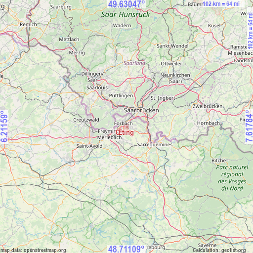
Œting GPS coordinates[2]
49° 10' 22.476" North, 6° 54' 52.992" East
| Map corner | latitude | longitude |
|---|---|---|
| Upper-left | 49.63047°, | 6.21159° |
| Center: | 49.17291°, | 6.91472° |
| Lower-right: | 48.71109°, | 7.61784° |
| Map W x H: | 102.2×102.2 km | = 63.5×63.5mi |
| max Lat: | 51.07786° ⇑16.3% North |
| Œting: | 49.17291° |
| min Lat: | ⇓83.7% South 41.3874° |
| min Long | Œting | max Long |
| -5.08615° | 6.91472° | 9.52242° |
| W 94.3%⇐ | ⇒5.7% E |
Elevation
Elevation of Œting is 370 m = 1214 ft, and this is 176.3 m = 578 ft above average elevation for this country.
| Max E: |
2333 m = 7654 ft | 13.3% |
| Œting | 370 m 1214 ft | |
| Avg. | 193.7 m = 635 ft | |
Min E: |
-1 m = -3 ft | 86.7% |
See also: France elevation on elevation.city.
Geographical zone
Œting is located in North temperate zone (between Tropic of Cancer and the Arctic Circle). Distance of this North polar circle is 1933.7 km =1201.5 mi to North.| Distance of | km | miles | from Œting |
|---|---|---|---|
| North Pole | 4539.5 | 2820.7 | to North |
| Arctic Circle | 1933.7 | 1201.5 | to North |
| Tropic Cancer | 2861.6 | 1778.1 | to South |
| Equator | 5467.5 | 3397.3 | to South |


Nearby cities:
15 places around Œting: (largest is in red/bold)
• Alsting
5.7 km =3.5 mi,  80°
80°
• Behren-lès-Forbach
1.8 km =1.1 mi,  101°
101°
• Bousbach
3.7 km =2.3 mi,  135°
135°
• Cocheren
5.3 km =3.3 mi,  232°
232°
• Etzling
3.3 km =2.1 mi, 77°
• Folkling
3.2 km =2 mi,  207°
207°
• Forbach
2.4 km =1.5 mi,  317°
317°
• Kerbach
3.8 km =2.4 mi, 100°
• Morsbach
3.2 km =2 mi,  260°
260°
• Rosbruck
5 km =3.1 mi,  251°
251°
• Schœneck
4.9 km =3 mi,  1°
1°
• Spicheren
4.3 km =2.7 mi,  59°
59°
• Stiring-Wendel
3.5 km =2.2 mi,  20°
20°
• Tenteling
5.5 km =3.4 mi,  162°
162°
• Théding
5.2 km =3.2 mi,  198°
198°
Sources, notices
• [Note1] Compared only with cities in France existing in our database
• [Src1] Map data: © OpenStreetMap contributors (CC-BY-SA)
• [Src2] Other city data from geonames.org with taken over terms of usage.
• [Src3] Geographical zone / Annual Mean Temperature by Robert A. Rohde @ Wikipedia
