Ners geodata
Ners (Occitanie) is a populated place; located in France in Europe/Paris (GMT+2) time zone. With population of 666 people, there are 12279 cities with bigger population in this country. Compared to other cities in France, 86.9% of cities are located further ↑North; 69.4% of cities are located further ←West and 58.7% of cities have higher elevation than Ners. Note1
Administrative division(s):
- Level 1: Occitanie
- Level 2: Gard
- Level 3: Arrondissement d’Alès
- Level 4: Ners


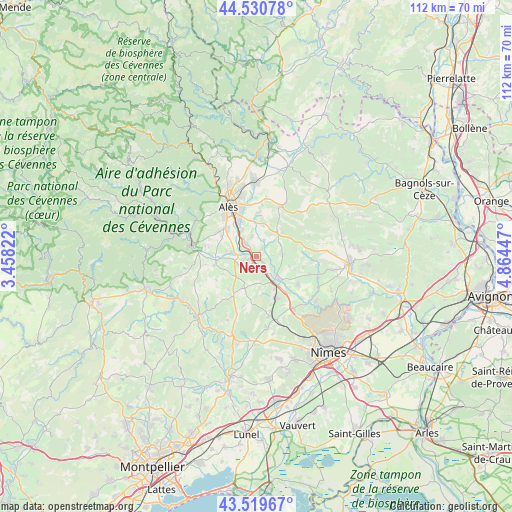
Ners GPS coordinates[2]
44° 1' 38.568" North, 4° 9' 40.824" East
| Map corner | latitude | longitude |
|---|---|---|
| Upper-left | 44.53078°, | 3.45822° |
| Center: | 44.02738°, | 4.16134° |
| Lower-right: | 43.51967°, | 4.86447° |
| Map W x H: | 112.4×112.4 km | = 69.8×69.8mi |
| max Lat: | 51.07786° ⇑86.9% North |
| Ners: | 44.02738° |
| min Lat: | ⇓13.1% South 41.3874° |
| min Long | Ners | max Long |
| -5.08615° | 4.16134° | 9.52242° |
| W 69.4%⇐ | ⇒30.6% E |
Elevation
Elevation of Ners is 106 m = 348 ft, and this is 87.7 m = 288 ft below average elevation for this country.
| Max E: |
2333 m = 7654 ft | 58.7% |
| Avg. | 193.7 m = 635 ft | |
| Ners | 106 m = 348 ft | |
Min E: |
-1 m = -3 ft | 41.3% |
See also: France elevation on elevation.city.
Geographical zone
Ners is located in North temperate zone (between Tropic of Cancer and the Arctic Circle). Distance of this Northern Tropic circle is 2289.5 km =1422.6 mi to South.| Distance of | km | miles | from Ners |
|---|---|---|---|
| North Pole | 5111.7 | 3176.3 | to North |
| Arctic Circle | 2505.8 | 1557 | to North |
| Tropic Cancer | 2289.5 | 1422.6 | to South |
| Equator | 4895.4 | 3041.9 | to South |


Nearby cities:
15 places around Ners: (largest is in red/bold)
• Boucoiran-et-Nozières
4.1 km =2.5 mi,  151°
151°
• Brignon
6 km =3.7 mi,  135°
135°
• Cardet
6.5 km =4 mi,  268°
268°
• Cruviers-Lascours
4.3 km =2.7 mi,  129°
129°
• Deaux
4.5 km =2.8 mi,  347°
347°
• Domessargues
5.8 km =3.6 mi,  175°
175°
• Lédignan
6.3 km =3.9 mi,  224°
224°
• Lézan
9 km =5.6 mi,  262°
262°
• Moussac
7.3 km =4.5 mi, 134°
• Méjannes-lès-Alès
7.9 km =4.9 mi,  356°
356°
• Ribaute-les-Tavernes
6.6 km =4.1 mi,  279°
279°
• Saint-Hilaire-de-Brethmas
6.5 km =4 mi,  333°
333°
• Saint-Maurice-de-Cazevieille
5.8 km =3.6 mi,  87°
87°
• Sauzet
8.3 km =5.2 mi, 152°
• Vézénobres
3.3 km =2.1 mi,  324°
324°
Sources, notices
• [Note1] Compared only with cities in France existing in our database
• [Src1] Map data: © OpenStreetMap contributors (CC-BY-SA)
• [Src2] Other city data from geonames.org with taken over terms of usage.
• [Src3] Geographical zone / Annual Mean Temperature by Robert A. Rohde @ Wikipedia
