Michery geodata
Michery (Bourgogne-Franche-Comté) is a populated place; located in France in Europe/Paris (GMT+2) time zone. With population of 884 people, there are 9787 cities with bigger population in this country. Compared to other cities in France, 64.7% of cities are located further ↓South; 61% of cities are located further ←West and 69.7% of cities have higher elevation than Michery. Note1
Administrative division(s):
- Level 1: Bourgogne-Franche-Comté
- Level 2: Département de l'Yonne
- Level 3: Arrondissement de Sens
- Level 4: Michery


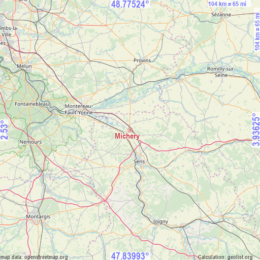
Michery GPS coordinates[2]
48° 18' 35.028" North, 3° 13' 59.232" East
| Map corner | latitude | longitude |
|---|---|---|
| Upper-left | 48.77524°, | 2.53° |
| Center: | 48.30973°, | 3.23312° |
| Lower-right: | 47.83993°, | 3.93625° |
| Map W x H: | 104×104 km | = 64.6×64.6mi |
| max Lat: | 51.07786° ⇑35.3% North |
| Michery: | 48.30973° |
| min Lat: | ⇓64.7% South 41.3874° |
| min Long | Michery | max Long |
| -5.08615° | 3.23312° | 9.52242° |
| W 61%⇐ | ⇒39% E |
Elevation
Elevation of Michery is 79 m = 259 ft, and this is 114.7 m = 376 ft below average elevation for this country.
| Max E: |
2333 m = 7654 ft | 69.7% |
| Avg. | 193.7 m = 635 ft | |
| Michery | 79 m = 259 ft | |
Min E: |
-1 m = -3 ft | 30.3% |
See also: France elevation on elevation.city.
Geographical zone
Michery is located in North temperate zone (between Tropic of Cancer and the Arctic Circle). Distance of this North polar circle is 2029.6 km =1261.1 mi to North.| Distance of | km | miles | from Michery |
|---|---|---|---|
| North Pole | 4635.5 | 2880.4 | to North |
| Arctic Circle | 2029.6 | 1261.1 | to North |
| Tropic Cancer | 2765.6 | 1718.5 | to South |
| Equator | 5371.5 | 3337.7 | to South |


Nearby cities:
15 places around Michery: (largest is in red/bold)
• Bazoches-lès-Bray
10.4 km =6.5 mi,  341°
341°
• Champigny
7.4 km =4.6 mi,  275°
275°
• Chaumont
9.5 km =5.9 mi, 278°
• Courlon-sur-Yonne
5.9 km =3.7 mi,  303°
303°
• Courtois-sur-Yonne
9.3 km =5.8 mi,  170°
170°
• Cuy
6.3 km =3.9 mi,  157°
157°
• Gisy-les-Nobles
3.2 km =2 mi, 166°
• Pont-sur-Yonne
3.8 km =2.4 mi,  217°
217°
• Saint-Clément
11.3 km =7 mi, 155°
• Saint-Denis-lès-Sens
9.4 km =5.8 mi, 164°
• Saint-Martin-du-Tertre
10.6 km =6.6 mi, 168°
• Sergines
4.2 km =2.6 mi,  30°
30°
• Soucy
9.5 km =5.9 mi,  134°
134°
• Villemanoche
4 km =2.5 mi,  254°
254°
• Vinneuf
8.1 km =5 mi, 301°
Sources, notices
• [Note1] Compared only with cities in France existing in our database
• [Src1] Map data: © OpenStreetMap contributors (CC-BY-SA)
• [Src2] Other city data from geonames.org with taken over terms of usage.
• [Src3] Geographical zone / Annual Mean Temperature by Robert A. Rohde @ Wikipedia
