L’Escale geodata
L’Escale (Provence-Alpes-Côte d'Azur) is a populated place; located in France in Europe/Paris (GMT+2) time zone. With population of 1,282 people, there are 7120 cities with bigger population in this country. Compared to other cities in France, 86.4% of cities are located further ↑North; 87.3% of cities are located further ←West and 91.3% of cities have lower elevation than L’Escale. Note1
Administrative division(s):
- Level 1: Provence-Alpes-Côte d'Azur
- Level 2: Alpes-de-Haute-Provence
- Level 3: Arrondissement de Digne-les-Bains
- Level 4: L'Escale


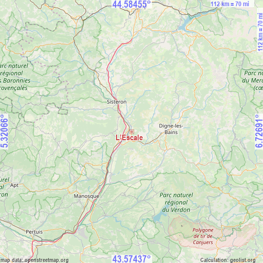
L’Escale GPS coordinates[2]
44° 4' 53.832" North, 6° 1' 25.644" East
| Map corner | latitude | longitude |
|---|---|---|
| Upper-left | 44.58455°, | 5.32066° |
| Center: | 44.08162°, | 6.02379° |
| Lower-right: | 43.57437°, | 6.72691° |
| Map W x H: | 112.3×112.3 km | = 69.8×69.8mi |
| max Lat: | 51.07786° ⇑86.4% North |
| L’Escale: | 44.08162° |
| min Lat: | ⇓13.6% South 41.3874° |
| min Long | L’Escale | max Long |
| -5.08615° | 6.02379° | 9.52242° |
| W 87.3%⇐ | ⇒12.7% E |
Elevation
Elevation of L’Escale is 455 m = 1493 ft, and this is 261.3 m = 857 ft above average elevation for this country.
| Max E: |
2333 m = 7654 ft | 8.7% |
| L’Escale | 455 m 1493 ft | |
| Avg. | 193.7 m = 635 ft | |
Min E: |
-1 m = -3 ft | 91.3% |
See also: France elevation on elevation.city.
Geographical zone
L’Escale is located in North temperate zone (between Tropic of Cancer and the Arctic Circle). Distance of this Northern Tropic circle is 2295.5 km =1426.4 mi to South.| Distance of | km | miles | from L’Escale |
|---|---|---|---|
| North Pole | 5105.6 | 3172.5 | to North |
| Arctic Circle | 2499.8 | 1553.3 | to North |
| Tropic Cancer | 2295.5 | 1426.4 | to South |
| Equator | 4901.4 | 3045.6 | to South |


Nearby cities:
15 places around L’Escale: (largest is in red/bold)
• Aubignosc
6.9 km =4.3 mi,  320°
320°
• Bras-d’Asse
19.2 km =11.9 mi,  154°
154°
• Champtercier
11.1 km =6.9 mi,  82°
82°
• Cruis
15.2 km =9.4 mi,  261°
261°
• Digne-les-Bains
16.7 km =10.4 mi,  85°
85°
• Les Mées
6.9 km =4.3 mi,  213°
213°
• Malijai
4 km =2.5 mi,  172°
172°
• Mallemoisson
9 km =5.6 mi,  115°
115°
• Mézel
16.7 km =10.4 mi, 124°
• Peipin
8.2 km =5.1 mi, 319°
• Peyruis
8.9 km =5.5 mi,  228°
228°
• Saint-Étienne-les-Orgues
19.9 km =12.4 mi, 258°
• Sisteron
13.5 km =8.4 mi,  332°
332°
• Thoard
12.5 km =7.8 mi,  52°
52°
• Volonne
3.3 km =2.1 mi,  346°
346°
Sources, notices
• [Note1] Compared only with cities in France existing in our database
• [Src1] Map data: © OpenStreetMap contributors (CC-BY-SA)
• [Src2] Other city data from geonames.org with taken over terms of usage.
• [Src3] Geographical zone / Annual Mean Temperature by Robert A. Rohde @ Wikipedia
