Ficheux geodata
Ficheux (Hauts-de-France) is a populated place; located in France in Europe/Paris (GMT+2) time zone. With population of 540 people, there are 14387 cities with bigger population in this country. Compared to other cities in France, 95% of cities are located further ↓South; 54.1% of cities are located further ←West and 64.9% of cities have higher elevation than Ficheux. Note1
Administrative division(s):
- Level 1: Hauts-de-France
- Level 2: Pas-de-Calais
- Level 3: Arras
- Level 4: Ficheux


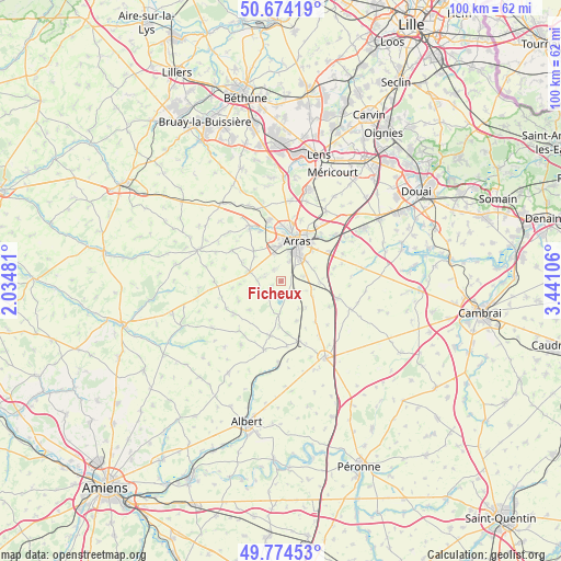
Ficheux GPS coordinates[2]
50° 13' 35.328" North, 2° 44' 16.548" East
| Map corner | latitude | longitude |
|---|---|---|
| Upper-left | 50.67419°, | 2.03481° |
| Center: | 50.22648°, | 2.73793° |
| Lower-right: | 49.77453°, | 3.44106° |
| Map W x H: | 100×100 km | = 62.1×62.1mi |
| max Lat: | 51.07786° ⇑5% North |
| Ficheux: | 50.22648° |
| min Lat: | ⇓95% South 41.3874° |
| min Long | Ficheux | max Long |
| -5.08615° | 2.73793° | 9.52242° |
| W 54.1%⇐ | ⇒45.9% E |
Elevation
Elevation of Ficheux is 90 m = 295 ft, and this is 103.7 m = 340 ft below average elevation for this country.
| Max E: |
2333 m = 7654 ft | 64.9% |
| Avg. | 193.7 m = 635 ft | |
| Ficheux | 90 m = 295 ft | |
Min E: |
-1 m = -3 ft | 35.1% |
See also: France elevation on elevation.city.
Geographical zone
Ficheux is located in North temperate zone (between Tropic of Cancer and the Arctic Circle). Distance of this North polar circle is 1816.5 km =1128.7 mi to North.| Distance of | km | miles | from Ficheux |
|---|---|---|---|
| North Pole | 4422.4 | 2748 | to North |
| Arctic Circle | 1816.5 | 1128.7 | to North |
| Tropic Cancer | 2978.7 | 1850.9 | to South |
| Equator | 5584.7 | 3470.2 | to South |


Nearby cities:
15 places around Ficheux: (largest is in red/bold)
• Achicourt
5.5 km =3.4 mi,  14°
14°
• Agny
4 km =2.5 mi,  23°
23°
• Arras
8 km =5 mi, 22°
• Beaumetz-lès-Loges
5.8 km =3.6 mi,  283°
283°
• Beaurains
6 km =3.7 mi,  42°
42°
• Dainville
6.1 km =3.8 mi,  352°
352°
• Mercatel
4.2 km =2.6 mi,  76°
76°
• Neuville-Vitasse
6.3 km =3.9 mi,  67°
67°
• Rivière
3.4 km =2.1 mi, 282°
• Saint-Laurent-Blangy
9 km =5.6 mi,  32°
32°
• Saint-Nicolas
9.1 km =5.7 mi, 18°
• Sainte-Catherine
9.2 km =5.7 mi, 11°
• Simencourt
7.6 km =4.7 mi,  297°
297°
• Tilloy-lès-Mofflaines
7.7 km =4.8 mi,  45°
45°
• Wancourt
9.6 km =6 mi, 76°
Sources, notices
• [Note1] Compared only with cities in France existing in our database
• [Src1] Map data: © OpenStreetMap contributors (CC-BY-SA)
• [Src2] Other city data from geonames.org with taken over terms of usage.
• [Src3] Geographical zone / Annual Mean Temperature by Robert A. Rohde @ Wikipedia
