Ergué-Gabéric geodata
Ergué-Gabéric (Brittany) is a populated place; located in France in Europe/Paris (GMT+2) time zone. With population of 7,326 people, there are 1335 cities with bigger population in this country. Compared to other cities in France, 59.1% of cities are located further ↓South; 99% of cities are located further →East and 69.7% of cities have higher elevation than Ergué-Gabéric. Note1
Administrative division(s):
- Level 1: Brittany
- Level 2: Département du Finistère
- Level 3: Arrondissement de Quimper
- Level 4: Ergué-Gabéric


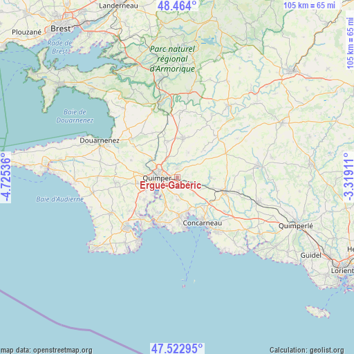
Ergué-Gabéric GPS coordinates[2]
47° 59' 44.232" North, 4° 1' 20.028" West
| Map corner | latitude | longitude |
|---|---|---|
| Upper-left | 48.464°, | -4.72536° |
| Center: | 47.99562°, | -4.02223° |
| Lower-right: | 47.52295°, | -3.31911° |
| Map W x H: | 104.6×104.6 km | = 65×65mi |
| max Lat: | 51.07786° ⇑40.9% North |
| Ergué-Gabéric: | 47.99562° |
| min Lat: | ⇓59.1% South 41.3874° |
| min Long | Ergué-Gabéric | max Long |
| -5.08615° | -4.02223° | 9.52242° |
| W 1%⇐ | ⇒99% E |
Elevation
Elevation of Ergué-Gabéric is 79 m = 259 ft, and this is 114.7 m = 376 ft below average elevation for this country.
| Max E: |
2333 m = 7654 ft | 69.7% |
| Avg. | 193.7 m = 635 ft | |
| Ergué-Gabéric | 79 m = 259 ft | |
Min E: |
-1 m = -3 ft | 30.3% |
See also: France elevation on elevation.city.
Geographical zone
Ergué-Gabéric is located in North temperate zone (between Tropic of Cancer and the Arctic Circle). Distance of this North polar circle is 2064.6 km =1282.9 mi to North.| Distance of | km | miles | from Ergué-Gabéric |
|---|---|---|---|
| North Pole | 4670.4 | 2902.1 | to North |
| Arctic Circle | 2064.6 | 1282.9 | to North |
| Tropic Cancer | 2730.7 | 1696.8 | to South |
| Equator | 5336.6 | 3316 | to South |


Nearby cities:
15 places around Ergué-Gabéric: (largest is in red/bold)
• Briec
11.9 km =7.4 mi,  8°
8°
• Clohars-Fouesnant
11.4 km =7.1 mi,  195°
195°
• Edern
12 km =7.5 mi, 13°
• Elliant
9.9 km =6.2 mi,  90°
90°
• Fouesnant
11.5 km =7.1 mi,  177°
177°
• Gouesnach
11.7 km =7.3 mi,  215°
215°
• La Forêt-Fouesnant
10 km =6.2 mi,  161°
161°
• Landrévarzec
11.1 km =6.9 mi,  345°
345°
• Landudal
8.2 km =5.1 mi,  24°
24°
• Langolen
11.4 km =7.1 mi,  45°
45°
• Pleuven
10.7 km =6.6 mi, 184°
• Plomelin
11.8 km =7.3 mi,  233°
233°
• Quimper
5.8 km =3.6 mi,  274°
274°
• Saint-Yvi
7.4 km =4.6 mi,  115°
115°
• Saint-Évarzec
6.9 km =4.3 mi, 176°
Sources, notices
• [Note1] Compared only with cities in France existing in our database
• [Src1] Map data: © OpenStreetMap contributors (CC-BY-SA)
• [Src2] Other city data from geonames.org with taken over terms of usage.
• [Src3] Geographical zone / Annual Mean Temperature by Robert A. Rohde @ Wikipedia
