Cré-sur-Loir geodata
Cré-sur-Loir (Pays de la Loire) is a populated place; located in France in Europe/Paris (GMT+2) time zone. With population of 694 people, there are 11888 cities with bigger population in this country. Compared to other cities in France, 53.9% of cities are located further ↓South; 79.3% of cities are located further →East and 90.7% of cities have higher elevation than Cré-sur-Loir. Note1
Administrative division(s):
- Level 1: Pays de la Loire
- Level 2: Sarthe
- Level 3: Arrondissement de La Flèche
- Level 4: Bazouges Cré sur Loir


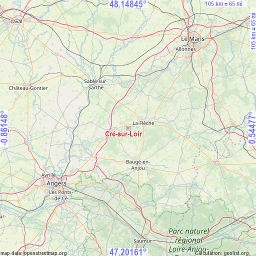
Cré-sur-Loir GPS coordinates[2]
47° 40' 37.848" North, 0° 9' 30.096" West
| Map corner | latitude | longitude |
|---|---|---|
| Upper-left | 48.14845°, | -0.86148° |
| Center: | 47.67718°, | -0.15836° |
| Lower-right: | 47.20161°, | 0.54477° |
| Map W x H: | 105.3×105.3 km | = 65.4×65.4mi |
| max Lat: | 51.07786° ⇑46.1% North |
| Cré-sur-Loir: | 47.67718° |
| min Lat: | ⇓53.9% South 41.3874° |
| min Long | Cré-sur-Loir | max Long |
| -5.08615° | -0.15836° | 9.52242° |
| W 20.7%⇐ | ⇒79.3% E |
Elevation
Elevation of Cré-sur-Loir is 28 m = 92 ft, and this is 165.7 m = 544 ft below average elevation for this country.
| Max E: |
2333 m = 7654 ft | 90.7% |
| Avg. | 193.7 m = 635 ft | |
| Cré-sur-Loir | 28 m = 92 ft | |
Min E: |
-1 m = -3 ft | 9.3% |
See also: France elevation on elevation.city.
Geographical zone
Cré-sur-Loir is located in North temperate zone (between Tropic of Cancer and the Arctic Circle). Distance of this North polar circle is 2100 km =1304.9 mi to North.| Distance of | km | miles | from Cré-sur-Loir |
|---|---|---|---|
| North Pole | 4705.9 | 2924.1 | to North |
| Arctic Circle | 2100 | 1304.9 | to North |
| Tropic Cancer | 2695.3 | 1674.8 | to South |
| Equator | 5301.2 | 3294 | to South |


Nearby cities:
15 places around Cré-sur-Loir: (largest is in red/bold)
• Bazouges-sur-le-Loir
1.6 km =1 mi,  329°
329°
• Cheviré-le-Rouge
9.3 km =5.8 mi,  190°
190°
• Clefs-Val d'Anjou
8.8 km =5.5 mi,  131°
131°
• Clermont-Créans
11.7 km =7.3 mi,  66°
66°
• Crosmières
7.6 km =4.7 mi,  3°
3°
• Durtal
5.7 km =3.5 mi,  264°
264°
• Fougeré
5.5 km =3.4 mi,  172°
172°
• Jarzé
14.6 km =9.1 mi,  202°
202°
• La Flèche
6.6 km =4.1 mi, 69°
• Les Rairies
4.6 km =2.9 mi,  231°
231°
• Louailles
14.5 km =9 mi, 331°
• Lézigné
11.3 km =7 mi,  246°
246°
• Mareil-sur-Loir
13.3 km =8.3 mi, 71°
• Thorée-les-Pins
15.1 km =9.4 mi,  85°
85°
• Villaines-sous-Malicorne
10.5 km =6.5 mi,  24°
24°
Sources, notices
• [Note1] Compared only with cities in France existing in our database
• [Src1] Map data: © OpenStreetMap contributors (CC-BY-SA)
• [Src2] Other city data from geonames.org with taken over terms of usage.
• [Src3] Geographical zone / Annual Mean Temperature by Robert A. Rohde @ Wikipedia
