Chânes geodata
Chânes (Bourgogne-Franche-Comté) is a populated place; located in France in Europe/Paris (GMT+2) time zone. With population of 523 people, there are 14759 cities with bigger population in this country. Compared to other cities in France, 62.9% of cities are located further ↑North; 74.4% of cities are located further ←West and 73% of cities have lower elevation than Chânes. Note1
Administrative division(s):
- Level 1: Bourgogne-Franche-Comté
- Level 2: Département de Saône-et-Loire
- Level 3: Arrondissement de Mâcon
- Level 4: Chânes


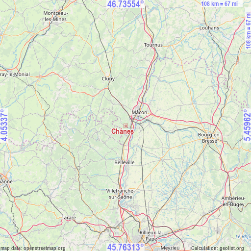
Chânes GPS coordinates[2]
46° 15' 5.364" North, 4° 45' 23.4" East
| Map corner | latitude | longitude |
|---|---|---|
| Upper-left | 46.73554°, | 4.05337° |
| Center: | 46.25149°, | 4.7565° |
| Lower-right: | 45.76313°, | 5.45962° |
| Map W x H: | 108.1×108.1 km | = 67.2×67.2mi |
| max Lat: | 51.07786° ⇑62.9% North |
| Chânes: | 46.25149° |
| min Lat: | ⇓37.1% South 41.3874° |
| min Long | Chânes | max Long |
| -5.08615° | 4.7565° | 9.52242° |
| W 74.4%⇐ | ⇒25.6% E |
Elevation
Elevation of Chânes is 236 m = 774 ft, and this is 42.3 m = 139 ft above average elevation for this country.
| Max E: |
2333 m = 7654 ft | 27% |
| Chânes | 236 m 774 ft | |
| Avg. | 193.7 m = 635 ft | |
Min E: |
-1 m = -3 ft | 73% |
See also: France elevation on elevation.city.
Geographical zone
Chânes is located in North temperate zone (between Tropic of Cancer and the Arctic Circle). Distance of this North polar circle is 2258.5 km =1403.4 mi to North.| Distance of | km | miles | from Chânes |
|---|---|---|---|
| North Pole | 4864.4 | 3022.6 | to North |
| Arctic Circle | 2258.5 | 1403.4 | to North |
| Tropic Cancer | 2536.8 | 1576.3 | to South |
| Equator | 5142.7 | 3195.5 | to South |


Nearby cities:
15 places around Chânes: (largest is in red/bold)
• Chaintré
1 km =0.6 mi,  13°
13°
• Charnay-lès-Mâcon
6.6 km =4.1 mi,  19°
19°
• Cormoranche-sur-Saône
6.3 km =3.9 mi,  104°
104°
• Crêches-sur-Saône
2.4 km =1.5 mi,  107°
107°
• Davayé
5.9 km =3.7 mi,  350°
350°
• Fleurie
8 km =5 mi,  214°
214°
• Garnerans
8.2 km =5.1 mi,  126°
126°
• Grièges
7.1 km =4.4 mi,  85°
85°
• Juliénas
3.9 km =2.4 mi,  242°
242°
• La Chapelle-de-Guinchay
4.8 km =3 mi,  174°
174°
• Leynes
3 km =1.9 mi,  313°
313°
• Prissé
7.8 km =4.8 mi, 353°
• Romanèche-Thorins
7.6 km =4.7 mi,  188°
188°
• Saint-Laurent-sur-Saône
8.8 km =5.5 mi,  47°
47°
• Vinzelles
2.6 km =1.6 mi, 20°
Sources, notices
• [Note1] Compared only with cities in France existing in our database
• [Src1] Map data: © OpenStreetMap contributors (CC-BY-SA)
• [Src2] Other city data from geonames.org with taken over terms of usage.
• [Src3] Geographical zone / Annual Mean Temperature by Robert A. Rohde @ Wikipedia
