Bouclans geodata
Bouclans (Bourgogne-Franche-Comté) is a populated place; located in France in Europe/Paris (GMT+2) time zone. With population of 887 people, there are 9762 cities with bigger population in this country. Compared to other cities in France, 52.4% of cities are located further ↑North; 89.7% of cities are located further ←West and 90.6% of cities have lower elevation than Bouclans. Note1
Administrative division(s):
- Level 1: Bourgogne-Franche-Comté
- Level 2: Doubs
- Level 3: Arrondissement de Besançon
- Level 4: Bouclans


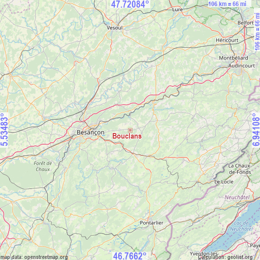
Bouclans GPS coordinates[2]
47° 14' 44.412" North, 6° 14' 16.656" East
| Map corner | latitude | longitude |
|---|---|---|
| Upper-left | 47.72084°, | 5.53483° |
| Center: | 47.24567°, | 6.23796° |
| Lower-right: | 46.7662°, | 6.94108° |
| Map W x H: | 106.1×106.1 km | = 65.9×65.9mi |
| max Lat: | 51.07786° ⇑52.4% North |
| Bouclans: | 47.24567° |
| min Lat: | ⇓47.6% South 41.3874° |
| min Long | Bouclans | max Long |
| -5.08615° | 6.23796° | 9.52242° |
| W 89.7%⇐ | ⇒10.3% E |
Elevation
Elevation of Bouclans is 439 m = 1440 ft, and this is 245.3 m = 805 ft above average elevation for this country.
| Max E: |
2333 m = 7654 ft | 9.4% |
| Bouclans | 439 m 1440 ft | |
| Avg. | 193.7 m = 635 ft | |
Min E: |
-1 m = -3 ft | 90.6% |
See also: France elevation on elevation.city.
Geographical zone
Bouclans is located in North temperate zone (between Tropic of Cancer and the Arctic Circle). Distance of this North polar circle is 2147.9 km =1334.6 mi to North.| Distance of | km | miles | from Bouclans |
|---|---|---|---|
| North Pole | 4753.8 | 2953.9 | to North |
| Arctic Circle | 2147.9 | 1334.6 | to North |
| Tropic Cancer | 2647.3 | 1645 | to South |
| Equator | 5253.2 | 3264.2 | to South |


Nearby cities:
15 places around Bouclans: (largest is in red/bold)
• Amagney
9.3 km =5.8 mi,  315°
315°
• Chalezeule
12.3 km =7.6 mi,  276°
276°
• Deluz
6 km =3.7 mi,  332°
332°
• Gennes
9.2 km =5.7 mi,  273°
273°
• Lusans
12.2 km =7.6 mi,  347°
347°
• Mamirolle
7.9 km =4.9 mi,  228°
228°
• Marchaux
11.6 km =7.2 mi, 316°
• Montfaucon
11.9 km =7.4 mi,  264°
264°
• Naisey-les-Granges
3.4 km =2.1 mi,  164°
164°
• Nancray
4.2 km =2.6 mi, 269°
• Novillars
9.3 km =5.8 mi,  297°
297°
• Roche-lez-Beaupré
10.1 km =6.3 mi,  294°
294°
• Roulans
7.8 km =4.8 mi,  355°
355°
• Saône
9.5 km =5.9 mi,  254°
254°
• Étalans
10.8 km =6.7 mi,  165°
165°
Sources, notices
• [Note1] Compared only with cities in France existing in our database
• [Src1] Map data: © OpenStreetMap contributors (CC-BY-SA)
• [Src2] Other city data from geonames.org with taken over terms of usage.
• [Src3] Geographical zone / Annual Mean Temperature by Robert A. Rohde @ Wikipedia
