Bart geodata
Bart (Bourgogne-Franche-Comté) is a populated place; located in France in Europe/Paris (GMT+2) time zone. With population of 1,949 people, there are 4912 cities with bigger population in this country. Compared to other cities in France, 51% of cities are located further ↓South; 93.5% of cities are located further ←West and 82.2% of cities have lower elevation than Bart. Note1
Administrative division(s):
- Level 1: Bourgogne-Franche-Comté
- Level 2: Doubs
- Level 3: Arrondissement de Montbéliard
- Level 4: Bart


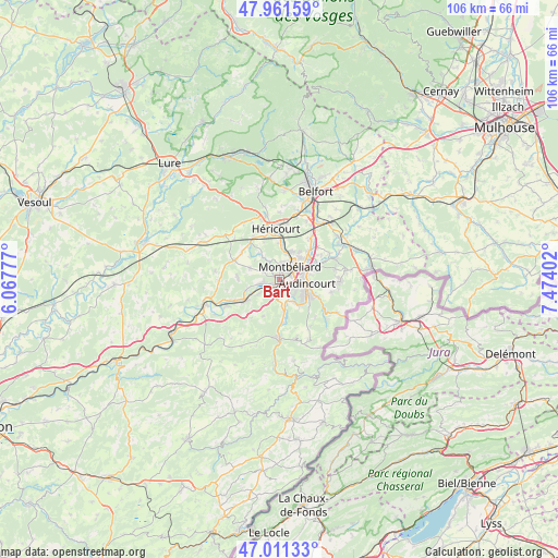
Bart GPS coordinates[2]
47° 29' 18.996" North, 6° 46' 15.24" East
| Map corner | latitude | longitude |
|---|---|---|
| Upper-left | 47.96159°, | 6.06777° |
| Center: | 47.48861°, | 6.7709° |
| Lower-right: | 47.01133°, | 7.47402° |
| Map W x H: | 105.7×105.7 km | = 65.7×65.7mi |
| max Lat: | 51.07786° ⇑49% North |
| Bart: | 47.48861° |
| min Lat: | ⇓51% South 41.3874° |
| min Long | Bart | max Long |
| -5.08615° | 6.7709° | 9.52242° |
| W 93.5%⇐ | ⇒6.5% E |
Elevation
Elevation of Bart is 312 m = 1024 ft, and this is 118.3 m = 388 ft above average elevation for this country.
| Max E: |
2333 m = 7654 ft | 17.8% |
| Bart | 312 m 1024 ft | |
| Avg. | 193.7 m = 635 ft | |
Min E: |
-1 m = -3 ft | 82.2% |
See also: France elevation on elevation.city.
Geographical zone
Bart is located in North temperate zone (between Tropic of Cancer and the Arctic Circle). Distance of this North polar circle is 2120.9 km =1317.9 mi to North.| Distance of | km | miles | from Bart |
|---|---|---|---|
| North Pole | 4726.8 | 2937.1 | to North |
| Arctic Circle | 2120.9 | 1317.9 | to North |
| Tropic Cancer | 2674.3 | 1661.7 | to South |
| Equator | 5280.2 | 3281 | to South |


Nearby cities:
15 places around Bart: (largest is in red/bold)
• Arbouans
2.2 km =1.4 mi,  56°
56°
• Bavans
2.9 km =1.8 mi,  262°
262°
• Courcelles-lès-Montbéliard
1.7 km =1.1 mi,  36°
36°
• Dampierre-sur-le-Doubs
3.4 km =2.1 mi,  242°
242°
• Dung
2.1 km =1.3 mi,  318°
318°
• Exincourt
4.6 km =2.9 mi,  81°
81°
• Mandeure
5.2 km =3.2 mi,  147°
147°
• Mathay
5.6 km =3.5 mi,  169°
169°
• Montbéliard
3.1 km =1.9 mi, 41°
• Présentevillers
3.4 km =2.1 mi,  294°
294°
• Sainte-Suzanne
1.3 km =0.8 mi,  349°
349°
• Sochaux
4.8 km =3 mi, 63°
• Valentigney
5.3 km =3.3 mi,  121°
121°
• Voujeaucourt
1.5 km =0.9 mi, 170°
• Étouvans
4.6 km =2.9 mi, 235°
Sources, notices
• [Note1] Compared only with cities in France existing in our database
• [Src1] Map data: © OpenStreetMap contributors (CC-BY-SA)
• [Src2] Other city data from geonames.org with taken over terms of usage.
• [Src3] Geographical zone / Annual Mean Temperature by Robert A. Rohde @ Wikipedia
