Bages geodata
Bages (Occitanie) is a populated place; located in France in Europe/Paris (GMT+2) time zone. With population of 803 people, there are 10571 cities with bigger population in this country. Compared to other cities in France, 97.8% of cities are located further ↑North; 57.7% of cities are located further ←West and 97.4% of cities have higher elevation than Bages. Note1
Administrative division(s):
- Level 1: Occitanie
- Level 2: Département de l'Aude
- Level 3: Arrondissement de Narbonne
- Level 4: Bages


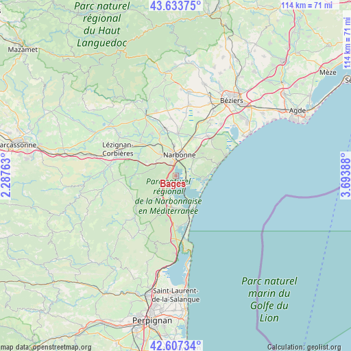
Bages GPS coordinates[2]
43° 7' 21.72" North, 2° 59' 26.736" East
| Map corner | latitude | longitude |
|---|---|---|
| Upper-left | 43.63375°, | 2.28763° |
| Center: | 43.1227°, | 2.99076° |
| Lower-right: | 42.60734°, | 3.69388° |
| Map W x H: | 114.1×114.1 km | = 70.9×70.9mi |
| max Lat: | 51.07786° ⇑97.8% North |
| Bages: | 43.1227° |
| min Lat: | ⇓2.2% South 41.3874° |
| min Long | Bages | max Long |
| -5.08615° | 2.99076° | 9.52242° |
| W 57.7%⇐ | ⇒42.3% E |
Elevation
Elevation of Bages is 10 m = 33 ft, and this is 183.7 m = 603 ft below average elevation for this country.
| Max E: |
2333 m = 7654 ft | 97.4% |
| Avg. | 193.7 m = 635 ft | |
| Bages | 10 m = 33 ft | |
Min E: |
-1 m = -3 ft | 2.6% |
See also: France elevation on elevation.city.
Geographical zone
Bages is located in North temperate zone (between Tropic of Cancer and the Arctic Circle). Distance of this Northern Tropic circle is 2188.9 km =1360.1 mi to South.| Distance of | km | miles | from Bages |
|---|---|---|---|
| North Pole | 5212.3 | 3238.8 | to North |
| Arctic Circle | 2606.4 | 1619.5 | to North |
| Tropic Cancer | 2188.9 | 1360.1 | to South |
| Equator | 4794.8 | 2979.3 | to South |


Nearby cities:
15 places around Bages: (largest is in red/bold)
• Armissan
11.2 km =7 mi,  49°
49°
• Bizanet
10.8 km =6.7 mi,  295°
295°
• Coursan
13.5 km =8.4 mi,  23°
23°
• Gruissan
8 km =5 mi,  102°
102°
• Marcorignan
12.8 km =8 mi,  334°
334°
• Montredon-des-Corbières
8.2 km =5.1 mi, 325°
• Moussan
12.5 km =7.8 mi,  344°
344°
• Narbonne
6.9 km =4.3 mi,  7°
7°
• Névian
12.3 km =7.6 mi,  324°
324°
• Peyriac-de-Mer
4.7 km =2.9 mi,  213°
213°
• Port-la-Nouvelle
12.2 km =7.6 mi,  159°
159°
• Portel-des-Corbières
10.1 km =6.3 mi,  216°
216°
• Saint-André-de-Roquelongue
12.6 km =7.8 mi,  266°
266°
• Sigean
10.6 km =6.6 mi,  185°
185°
• Vinassan
11.4 km =7.1 mi,  36°
36°
Sources, notices
• [Note1] Compared only with cities in France existing in our database
• [Src1] Map data: © OpenStreetMap contributors (CC-BY-SA)
• [Src2] Other city data from geonames.org with taken over terms of usage.
• [Src3] Geographical zone / Annual Mean Temperature by Robert A. Rohde @ Wikipedia
