Auradé geodata
Auradé (Occitanie) is a populated place; located in France in Europe/Paris (GMT+2) time zone. With population of 526 people, there are 14691 cities with bigger population in this country. Compared to other cities in France, 92.2% of cities are located further ↑North; 68.2% of cities are located further →East and 62.9% of cities have lower elevation than Auradé. Note1


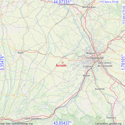
Auradé GPS coordinates[2]
43° 33' 57.564" North, 1° 3' 28.368" East
| Map corner | latitude | longitude |
|---|---|---|
| Upper-left | 44.07331°, | 0.35476° |
| Center: | 43.56599°, | 1.05788° |
| Lower-right: | 43.05437°, | 1.76101° |
| Map W x H: | 113.3×113.3 km | = 70.4×70.4mi |
| max Lat: | 51.07786° ⇑92.2% North |
| Auradé: | 43.56599° |
| min Lat: | ⇓7.8% South 41.3874° |
| min Long | Auradé | max Long |
| -5.08615° | 1.05788° | 9.52242° |
| W 31.8%⇐ | ⇒68.2% E |
Elevation
Elevation of Auradé is 184 m = 604 ft, and this is 9.7 m = 32 ft below average elevation for this country.
| Max E: |
2333 m = 7654 ft | 37.1% |
| Avg. | 193.7 m = 635 ft | |
| Auradé | 184 m = 604 ft | |
Min E: |
-1 m = -3 ft | 62.9% |
See also: France elevation on elevation.city.
Geographical zone
Auradé is located in North temperate zone (between Tropic of Cancer and the Arctic Circle). Distance of this Northern Tropic circle is 2238.2 km =1390.8 mi to South.| Distance of | km | miles | from Auradé |
|---|---|---|---|
| North Pole | 5163 | 3208.1 | to North |
| Arctic Circle | 2557.1 | 1588.9 | to North |
| Tropic Cancer | 2238.2 | 1390.8 | to South |
| Equator | 4844.1 | 3010 | to South |


Nearby cities:
15 places around Auradé: (largest is in red/bold)
• Bonrepos-sur-Aussonnelle
7.6 km =4.7 mi,  107°
107°
• Endoufielle
3.8 km =2.4 mi,  241°
241°
• Fonsorbes
14.2 km =8.8 mi,  103°
103°
• Fontenilles
10.8 km =6.7 mi, 97°
• Lasserre
12 km =7.5 mi,  47°
47°
• Le Castéra
13.7 km =8.5 mi,  29°
29°
• L’Isle-Jourdain
5.5 km =3.4 mi,  20°
20°
• Monferran-Savès
7.2 km =4.5 mi,  299°
299°
• Pujaudran
7.9 km =4.9 mi,  70°
70°
• Saiguède
8.1 km =5 mi,  120°
120°
• Saint-Lys
11.3 km =7 mi, 122°
• Saint-Thomas
6.1 km =3.8 mi,  161°
161°
• Sainte-Foy-de-Peyrolières
10.8 km =6.7 mi,  139°
139°
• Samatan
13.1 km =8.1 mi,  231°
231°
• Ségoufielle
9.4 km =5.8 mi,  39°
39°
Sources, notices
• [Note1] Compared only with cities in France existing in our database
• [Src1] Map data: © OpenStreetMap contributors (CC-BY-SA)
• [Src2] Other city data from geonames.org with taken over terms of usage.
• [Src3] Geographical zone / Annual Mean Temperature by Robert A. Rohde @ Wikipedia
