Vale geodata
Vale (Samtskhe-Javakheti) is a populated place; located in Georgia in Asia/Tbilisi (GMT+4) time zone. With population of 4,733 people, there are 57 cities with bigger population in this country. Compared to other cities in Georgia, 87.2% of cities are located further ↑North; 56.4% of cities are located further →East and 87.2% of cities have lower elevation than Vale. Note1


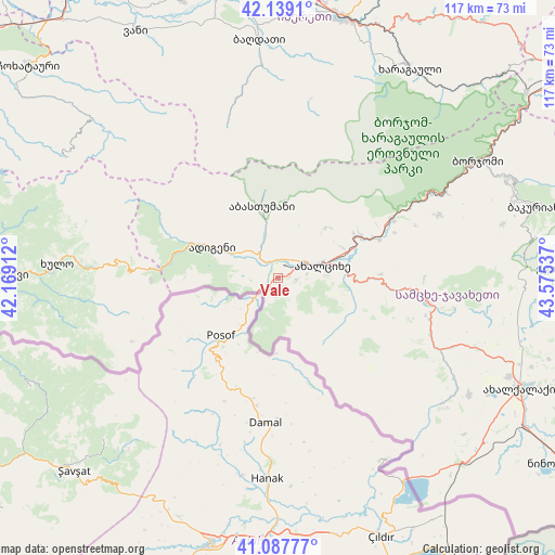
Vale GPS coordinates[2]
41° 36' 56.088" North, 42° 52' 20.064" East
| Map corner | latitude | longitude |
|---|---|---|
| Upper-left | 42.1391°, | 42.16912° |
| Center: | 41.61558°, | 42.87224° |
| Lower-right: | 41.08777°, | 43.57537° |
| Map W x H: | 116.9×116.9 km | = 72.6×72.6mi |
| max Lat: | 43.38111° ⇑87.2% North |
| Vale: | 41.61558° |
| min Lat: | ⇓12.8% South 41.21725° |
| min Long | Vale | max Long |
| 40.07944° | 42.87224° | 46.27667° |
| W 43.6%⇐ | ⇒56.4% E |
Elevation
Elevation of Vale is 1172 m = 3845 ft, and this is 593.2 m = 1946 ft above average elevation for this country.
| Max E: |
2223 m = 7293 ft | 12.8% |
| Vale | 1172 m 3845 ft | |
| Avg. | 578.8 m = 1899 ft | |
Min E: |
1 m = 3 ft | 87.2% |
See also: Georgia elevation on elevation.city.
Geographical zone
Vale is located in North temperate zone (between Tropic of Cancer and the Arctic Circle). Distance of this Northern Tropic circle is 2021.3 km =1256 mi to South.| Distance of | km | miles | from Vale |
|---|---|---|---|
| North Pole | 5379.8 | 3342.9 | to North |
| Arctic Circle | 2774 | 1723.7 | to North |
| Tropic Cancer | 2021.3 | 1256 | to South |
| Equator | 4627.2 | 2875.2 | to South |


Nearby cities:
15 places around Vale: (largest is in red/bold)
• Abastumani
10.5 km =6.5 mi,  347°
347°
• Adigeni
16.2 km =10.1 mi,  297°
297°
• Akhalk’alak’i
56.2 km =34.9 mi,  114°
114°
• Akhaltsikhe
9.5 km =5.9 mi,  74°
74°
• Aspindza
31.6 km =19.6 mi,  98°
98°
• Bakuriani
56.8 km =35.3 mi, 74°
• Bakurianis Andeziti
51.5 km =32 mi,  75°
75°
• Borjomi
52 km =32.3 mi,  59°
59°
• Dioknisi
40 km =24.9 mi,  272°
272°
• Kharagauli
52.6 km =32.7 mi,  30°
30°
• Khert’visi
37.7 km =23.4 mi, 113°
• Khulo
47.3 km =29.4 mi, 273°
• Shorapani
55.6 km =34.5 mi,  18°
18°
• Shuakhevi
56.7 km =35.2 mi, 271°
• Tsaghveri
54.8 km =34.1 mi, 67°
Sources, notices
• [Note1] Compared only with cities in Georgia existing in our database
• [Src1] Map data: © OpenStreetMap contributors (CC-BY-SA)
• [Src2] Other city data from geonames.org with taken over terms of usage.
• [Src3] Geographical zone / Annual Mean Temperature by Robert A. Rohde @ Wikipedia
