Shorapani geodata
Shorapani (Imereti) is a populated place; located in Georgia in Asia/Tbilisi (GMT+4) time zone. With population of 1,699 people, there are 87 cities with bigger population in this country. Compared to other cities in Georgia, 54.7% of cities are located further ↓South; 53% of cities are located further →East and 63.2% of cities have higher elevation than Shorapani. Note1


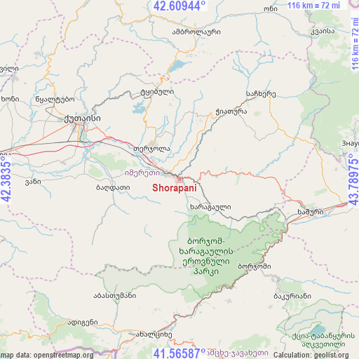
Shorapani GPS coordinates[2]
42° 5' 23.28" North, 43° 5' 11.832" East
| Map corner | latitude | longitude |
|---|---|---|
| Upper-left | 42.60944°, | 42.3835° |
| Center: | 42.0898°, | 43.08662° |
| Lower-right: | 41.56587°, | 43.78975° |
| Map W x H: | 116×116 km | = 72.1×72.1mi |
| max Lat: | 43.38111° ⇑45.3% North |
| Shorapani: | 42.0898° |
| min Lat: | ⇓54.7% South 41.21725° |
| min Long | Shorapani | max Long |
| 40.07944° | 43.08662° | 46.27667° |
| W 47%⇐ | ⇒53% E |
Elevation
Elevation of Shorapani is 273 m = 896 ft, and this is 305.8 m = 1003 ft below average elevation for this country.
| Max E: |
2223 m = 7293 ft | 63.2% |
| Avg. | 578.8 m = 1899 ft | |
| Shorapani | 273 m = 896 ft | |
Min E: |
1 m = 3 ft | 36.8% |
See also: Georgia elevation on elevation.city.
Geographical zone
Shorapani is located in North temperate zone (between Tropic of Cancer and the Arctic Circle). Distance of this Northern Tropic circle is 2074 km =1288.7 mi to South.| Distance of | km | miles | from Shorapani |
|---|---|---|---|
| North Pole | 5327.1 | 3310.1 | to North |
| Arctic Circle | 2721.2 | 1690.9 | to North |
| Tropic Cancer | 2074 | 1288.7 | to South |
| Equator | 4679.9 | 2908 | to South |


Nearby cities:
15 places around Shorapani: (largest is in red/bold)
• Abastumani
47 km =29.2 mi,  205°
205°
• Akhaldaba
37.6 km =23.4 mi,  118°
118°
• Borjomi
37.7 km =23.4 mi,  134°
134°
• Chiat’ura
29 km =18 mi,  37°
37°
• Gori
47.9 km =29.8 mi,  7°
7°
• Kats’khi
24.7 km =15.3 mi,  24°
24°
• Kharagauli
11.9 km =7.4 mi, 129°
• Khashuri
43.7 km =27.2 mi,  104°
104°
• Kutaisi
37.9 km =23.5 mi,  301°
301°
• Sach’khere
39.5 km =24.5 mi, 43°
• Surami
39.4 km =24.5 mi, 100°
• Tqibuli
30 km =18.6 mi,  346°
346°
• Tsaghveri
45.6 km =28.3 mi, 134°
• Vani
46.6 km =29 mi,  269°
269°
• Zestap’oni
3.6 km =2.2 mi,  308°
308°
Sources, notices
• [Note1] Compared only with cities in Georgia existing in our database
• [Src1] Map data: © OpenStreetMap contributors (CC-BY-SA)
• [Src2] Other city data from geonames.org with taken over terms of usage.
• [Src3] Geographical zone / Annual Mean Temperature by Robert A. Rohde @ Wikipedia
