Zítsa geodata
Zítsa (Epirus) is a populated place; located in Greece in Europe/Athens (GMT+3) time zone. With population of 613 people, there are 1559 cities with bigger population in this country. Compared to other cities in Greece, 63.8% of cities are located further ↓South; 95.7% of cities are located further →East and 95.5% of cities have lower elevation than Zítsa. Note1


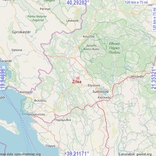
Zítsa GPS coordinates[2]
39° 45' 15.804" North, 20° 39' 0.288" East
| Map corner | latitude | longitude |
|---|---|---|
| Upper-left | 40.29282°, | 19.94696° |
| Center: | 39.75439°, | 20.65008° |
| Lower-right: | 39.21171°, | 21.35321° |
| Map W x H: | 120.2×120.2 km | = 74.7×74.7mi |
| max Lat: | 41.72048° ⇑36.2% North |
| Zítsa: | 39.75439° |
| min Lat: | ⇓63.8% South 34.8346° |
| min Long | Zítsa | max Long |
| 19.40494° | 20.65008° | 29.59361° |
| W 4.3%⇐ | ⇒95.7% E |
Elevation
Elevation of Zítsa is 678 m = 2224 ft, and this is 509.1 m = 1670 ft above average elevation for this country.
| Max E: |
1439 m = 4721 ft | 4.5% |
| Zítsa | 678 m 2224 ft | |
| Avg. | 168.9 m = 554 ft | |
Min E: |
0 m = 0 ft | 95.5% |
See also: Greece elevation on elevation.city.
Geographical zone
Zítsa is located in North temperate zone (between Tropic of Cancer and the Arctic Circle). Distance of this Northern Tropic circle is 1814.4 km =1127.4 mi to South.| Distance of | km | miles | from Zítsa |
|---|---|---|---|
| North Pole | 5586.8 | 3471.5 | to North |
| Arctic Circle | 2980.9 | 1852.2 | to North |
| Tropic Cancer | 1814.4 | 1127.4 | to South |
| Equator | 4420.3 | 2746.6 | to South |


Nearby cities:
15 places around Zítsa: (largest is in red/bold)
• Asprángeloi
10.2 km =6.3 mi,  41°
41°
• Eksochí
16.5 km =10.3 mi,  116°
116°
• Eleoúsa
13.3 km =8.3 mi,  113°
113°
• Kalpáki
15 km =9.3 mi,  351°
351°
• Kardamítsia
16.8 km =10.4 mi, 120°
• Metamórfosi
8.6 km =5.3 mi,  62°
62°
• Mármara
16.7 km =10.4 mi,  131°
131°
• Parakálamos
14.1 km =8.8 mi,  328°
328°
• Pentéli
18.8 km =11.7 mi, 121°
• Pérama
18.1 km =11.2 mi, 112°
• Rodotópi
8.3 km =5.2 mi, 128°
• Stavráki
18.1 km =11.2 mi, 127°
• Vounoplagiá
13.6 km =8.5 mi, 120°
• Zoodóchos
12 km =7.5 mi, 125°
• Ágios Ioánnis
15.4 km =9.6 mi, 114°
Sources, notices
• [Note1] Compared only with cities in Greece existing in our database
• [Src1] Map data: © OpenStreetMap contributors (CC-BY-SA)
• [Src2] Other city data from geonames.org with taken over terms of usage.
• [Src3] Geographical zone / Annual Mean Temperature by Robert A. Rohde @ Wikipedia
