Firá geodata
Firá (South Aegean) is a seat of a third-order administrative division; located in Greece in Europe/Athens (GMT+3) time zone. With population of 2,376 people, there are 441 cities with bigger population in this country. Compared to other cities in Greece, 92.7% of cities are located further ↑North; 90.5% of cities are located further ←West and 77.8% of cities have lower elevation than Firá. Note1


Firá GPS coordinates[2]
36° 25' 15.852" North, 25° 25' 51.132" East
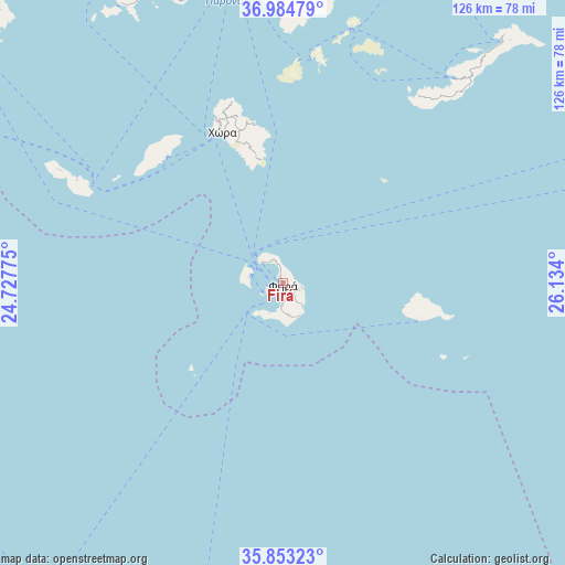
| Map corner | latitude | longitude |
|---|---|---|
| Upper-left | 36.98479°, | 24.72775° |
| Center: | 36.42107°, | 25.43087° |
| Lower-right: | 35.85323°, | 26.134° |
| Map W x H: | 125.8×125.8 km | = 78.2×78.2mi |
| max Lat: | 41.72048° ⇑92.7% North |
| Firá: | 36.42107° |
| min Lat: | ⇓7.3% South 34.8346° |
| min Long | Firá | max Long |
| 19.40494° | 25.43087° | 29.59361° |
| W 90.5%⇐ | ⇒9.5% E |
Elevation
Elevation of Firá is 244 m = 801 ft, and this is 75.1 m = 246 ft above average elevation for this country.
| Max E: |
1439 m = 4721 ft | 22.2% |
| Firá | 244 m 801 ft | |
| Avg. | 168.9 m = 554 ft | |
Min E: |
0 m = 0 ft | 77.8% |
See also: Greece elevation on elevation.city.
Geographical zone
Firá is located in North temperate zone (between Tropic of Cancer and the Arctic Circle). Distance of this Northern Tropic circle is 1443.7 km =897.1 mi to South.| Distance of | km | miles | from Firá |
|---|---|---|---|
| North Pole | 5957.4 | 3701.8 | to North |
| Arctic Circle | 3351.5 | 2082.5 | to North |
| Tropic Cancer | 1443.7 | 897.1 | to South |
| Equator | 4049.6 | 2516.3 | to South |


Nearby cities:
15 places around Firá: (largest is in red/bold)
• Amorgós
61.8 km =38.4 mi,  42°
42°
• Antíparos
75.4 km =46.9 mi,  335°
335°
• Anáfi
31.1 km =19.3 mi,  104°
104°
• Apérathos
72.8 km =45.2 mi,  6°
6°
• Emporeío
7.1 km =4.4 mi,  168°
168°
• Filótion
70.4 km =43.7 mi,  4°
4°
• Folégandros
51.1 km =31.8 mi,  296°
296°
• Glinádo
72.3 km =44.9 mi,  357°
357°
• Mesariá
2.9 km =1.8 mi,  147°
147°
• Náxos
76.3 km =47.4 mi, 356°
• Oía
6.7 km =4.2 mi,  313°
313°
• Síkinos
41.8 km =26 mi,  317°
317°
• Vívlos
70.9 km =44.1 mi, 358°
• Ágios Arsénios
71.3 km =44.3 mi, 357°
• Íos
37.1 km =23.1 mi, 339°
Sources, notices
• [Note1] Compared only with cities in Greece existing in our database
• [Src1] Map data: © OpenStreetMap contributors (CC-BY-SA)
• [Src2] Other city data from geonames.org with taken over terms of usage.
• [Src3] Geographical zone / Annual Mean Temperature by Robert A. Rohde @ Wikipedia
