Panagía geodata
Panagía (Thessaly) is a populated place; located in Greece in Europe/Athens (GMT+3) time zone. With population of 716 people, there are 1391 cities with bigger population in this country. Compared to other cities in Greece, 64.6% of cities are located further ↓South; 85.6% of cities are located further →East and 97.3% of cities have lower elevation than Panagía. Note1


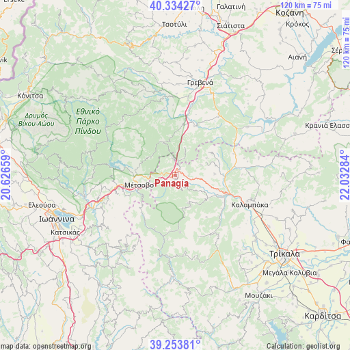
Panagía GPS coordinates[2]
39° 47' 46.176" North, 21° 19' 46.956" East
| Map corner | latitude | longitude |
|---|---|---|
| Upper-left | 40.33427°, | 20.62659° |
| Center: | 39.79616°, | 21.32971° |
| Lower-right: | 39.25381°, | 22.03284° |
| Map W x H: | 120.1×120.1 km | = 74.6×74.6mi |
| max Lat: | 41.72048° ⇑35.4% North |
| Panagía: | 39.79616° |
| min Lat: | ⇓64.6% South 34.8346° |
| min Long | Panagía | max Long |
| 19.40494° | 21.32971° | 29.59361° |
| W 14.4%⇐ | ⇒85.6% E |
Elevation
Elevation of Panagía is 787 m = 2582 ft, and this is 618.1 m = 2028 ft above average elevation for this country.
| Max E: |
1439 m = 4721 ft | 2.7% |
| Panagía | 787 m 2582 ft | |
| Avg. | 168.9 m = 554 ft | |
Min E: |
0 m = 0 ft | 97.3% |
See also: Greece elevation on elevation.city.
Geographical zone
Panagía is located in North temperate zone (between Tropic of Cancer and the Arctic Circle). Distance of this Northern Tropic circle is 1819 km =1130.3 mi to South.| Distance of | km | miles | from Panagía |
|---|---|---|---|
| North Pole | 5582.1 | 3468.6 | to North |
| Arctic Circle | 2976.3 | 1849.4 | to North |
| Tropic Cancer | 1819 | 1130.3 | to South |
| Equator | 4424.9 | 2749.5 | to South |


Nearby cities:
15 places around Panagía: (largest is in red/bold)
• Agiófyllo
21.2 km =13.2 mi,  69°
69°
• Agnantiá
14.1 km =8.8 mi,  55°
55°
• Anílio
12.7 km =7.9 mi,  251°
251°
• Asprokklisiá
29.1 km =18.1 mi,  78°
78°
• Chrysomiliá
25.6 km =15.9 mi,  145°
145°
• Diáva
24.4 km =15.2 mi,  118°
118°
• Kalampáka
27.4 km =17 mi,  111°
111°
• Kalomoíra
8.7 km =5.4 mi,  126°
126°
• Karperó
29.8 km =18.5 mi, 55°
• Kastráki
26.2 km =16.3 mi, 109°
• Kraniá
12 km =7.5 mi,  339°
339°
• Malakási
4.2 km =2.6 mi, 247°
• Metsovo
12.9 km =8 mi,  256°
256°
• Oxýneia
14.1 km =8.8 mi, 76°
• Ávra
32.3 km =20.1 mi, 106°
Sources, notices
• [Note1] Compared only with cities in Greece existing in our database
• [Src1] Map data: © OpenStreetMap contributors (CC-BY-SA)
• [Src2] Other city data from geonames.org with taken over terms of usage.
• [Src3] Geographical zone / Annual Mean Temperature by Robert A. Rohde @ Wikipedia
