Gónnoi geodata
Gónnoi (Thessaly) is a populated place; located in Greece in Europe/Athens (GMT+3) time zone. With population of 2,113 people, there are 489 cities with bigger population in this country. Compared to other cities in Greece, 65.1% of cities are located further ↓South; 60.7% of cities are located further →East and 52.3% of cities have lower elevation than Gónnoi. Note1


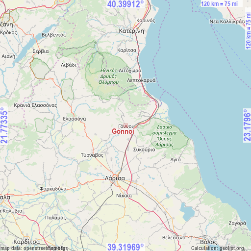
Gónnoi GPS coordinates[2]
39° 51' 41.508" North, 22° 28' 35.292" East
| Map corner | latitude | longitude |
|---|---|---|
| Upper-left | 40.39912°, | 21.77335° |
| Center: | 39.86153°, | 22.47647° |
| Lower-right: | 39.31969°, | 23.1796° |
| Map W x H: | 120×120 km | = 74.6×74.6mi |
| max Lat: | 41.72048° ⇑34.9% North |
| Gónnoi: | 39.86153° |
| min Lat: | ⇓65.1% South 34.8346° |
| min Long | Gónnoi | max Long |
| 19.40494° | 22.47647° | 29.59361° |
| W 39.3%⇐ | ⇒60.7% E |
Elevation
Elevation of Gónnoi is 90 m = 295 ft, and this is 78.9 m = 259 ft below average elevation for this country.
| Max E: |
1439 m = 4721 ft | 47.7% |
| Avg. | 168.9 m = 554 ft | |
| Gónnoi | 90 m = 295 ft | |
Min E: |
0 m = 0 ft | 52.3% |
See also: Greece elevation on elevation.city.
Geographical zone
Gónnoi is located in North temperate zone (between Tropic of Cancer and the Arctic Circle). Distance of this Northern Tropic circle is 1826.3 km =1134.8 mi to South.| Distance of | km | miles | from Gónnoi |
|---|---|---|---|
| North Pole | 5574.9 | 3464.1 | to North |
| Arctic Circle | 2969 | 1844.9 | to North |
| Tropic Cancer | 1826.3 | 1134.8 | to South |
| Equator | 4432.2 | 2754 | to South |


Nearby cities:
15 places around Gónnoi: (largest is in red/bold)
• Aigáni
15.4 km =9.6 mi,  48°
48°
• Ampelóna
16.1 km =10 mi,  216°
216°
• Argyropoúli
15 km =9.3 mi,  254°
254°
• Dasochóri
19.5 km =12.1 mi,  194°
194°
• Eláteia
7.7 km =4.8 mi,  136°
136°
• Fálanna
17.1 km =10.6 mi,  203°
203°
• Makrychóri
6.9 km =4.3 mi,  175°
175°
• Néoi Póroi
19.6 km =12.2 mi, 48°
• Omólio
14.6 km =9.1 mi,  75°
75°
• Pournári
12.8 km =8 mi, 138°
• Pyrgetós
11.8 km =7.3 mi,  57°
57°
• Rapsáni
7.6 km =4.7 mi, 53°
• Skotína
18.2 km =11.3 mi,  20°
20°
• Sykoúrio
14.4 km =8.9 mi, 142°
• Óssa
15.5 km =9.6 mi,  145°
145°
Sources, notices
• [Note1] Compared only with cities in Greece existing in our database
• [Src1] Map data: © OpenStreetMap contributors (CC-BY-SA)
• [Src2] Other city data from geonames.org with taken over terms of usage.
• [Src3] Geographical zone / Annual Mean Temperature by Robert A. Rohde @ Wikipedia
