Glífa geodata
Glífa (Central Greece) is a populated place; located in Greece in Europe/Athens (GMT+3) time zone. With population of 612 people, there are 1562 cities with bigger population in this country. Compared to other cities in Greece, 54.8% of cities are located further ↑North; 53.7% of cities are located further ←West and 95.6% of cities have higher elevation than Glífa. Note1
Administrative division(s):
- Level 1: Central Greece
- Level 2: Nomós Fthiótidos
- Level 3: Dimos Stylida


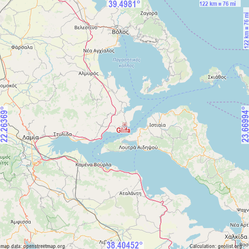
Glífa GPS coordinates[2]
38° 57' 12.312" North, 22° 58' 0.516" East
| Map corner | latitude | longitude |
|---|---|---|
| Upper-left | 39.4981°, | 22.26369° |
| Center: | 38.95342°, | 22.96681° |
| Lower-right: | 38.40452°, | 23.66994° |
| Map W x H: | 121.6×121.6 km | = 75.6×75.6mi |
| max Lat: | 41.72048° ⇑54.8% North |
| Glífa: | 38.95342° |
| min Lat: | ⇓45.2% South 34.8346° |
| min Long | Glífa | max Long |
| 19.40494° | 22.96681° | 29.59361° |
| W 53.7%⇐ | ⇒46.3% E |
Elevation
Elevation of Glífa is 5 m = 16 ft, and this is 163.9 m = 538 ft below average elevation for this country.
| Max E: |
1439 m = 4721 ft | 95.6% |
| Avg. | 168.9 m = 554 ft | |
| Glífa | 5 m = 16 ft | |
Min E: |
0 m = 0 ft | 4.4% |
See also: Greece elevation on elevation.city.
Geographical zone
Glífa is located in North temperate zone (between Tropic of Cancer and the Arctic Circle). Distance of this Northern Tropic circle is 1725.3 km =1072.1 mi to South.| Distance of | km | miles | from Glífa |
|---|---|---|---|
| North Pole | 5675.8 | 3526.8 | to North |
| Arctic Circle | 3070 | 1907.6 | to North |
| Tropic Cancer | 1725.3 | 1072.1 | to South |
| Equator | 4331.2 | 2691.3 | to South |


Nearby cities:
15 places around Glífa: (largest is in red/bold)
• Aidipsós
10.8 km =6.7 mi,  139°
139°
• Akhíllio
5.8 km =3.6 mi,  354°
354°
• Giáltra
10.1 km =6.3 mi,  175°
175°
• Istiaía
16 km =9.9 mi,  89°
89°
• Loutrá Aidhipsoú
12.8 km =8 mi,  146°
146°
• Néos Pírgos
9.3 km =5.8 mi,  102°
102°
• Oreoí
10.8 km =6.7 mi, 91°
• Paralía Rachón
18.2 km =11.3 mi,  244°
244°
• Pelasgía
11 km =6.8 mi,  266°
266°
• Pteleós
11.1 km =6.9 mi, 353°
• Rákhai
17.5 km =10.9 mi,  246°
246°
• Soúrpi
17.7 km =11 mi,  340°
340°
• Tríkeri
19 km =11.8 mi,  30°
30°
• Ágios Geórgios Lichádos
14.8 km =9.2 mi,  210°
210°
• Áyios
9.8 km =6.1 mi,  124°
124°
Sources, notices
• [Note1] Compared only with cities in Greece existing in our database
• [Src1] Map data: © OpenStreetMap contributors (CC-BY-SA)
• [Src2] Other city data from geonames.org with taken over terms of usage.
• [Src3] Geographical zone / Annual Mean Temperature by Robert A. Rohde @ Wikipedia
