Xylaganí geodata
Xylaganí (East Macedonia and Thrace) is a populated place; located in Greece in Europe/Athens (GMT+3) time zone. With population of 1,445 people, there are 694 cities with bigger population in this country. Compared to other cities in Greece, 91.1% of cities are located further ↓South; 90.4% of cities are located further ←West and 62.6% of cities have higher elevation than Xylaganí. Note1
Administrative division(s):
- Level 1: East Macedonia and Thrace
- Level 2: Nomós Rodópis
- Level 3: Dimos Maroneia-Sapes


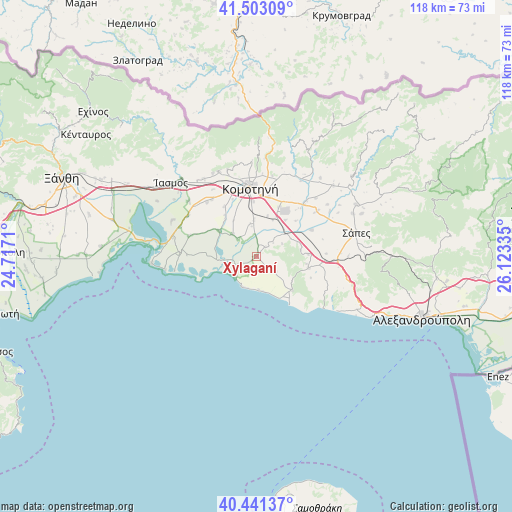
Xylaganí GPS coordinates[2]
40° 58' 27.732" North, 25° 25' 12.792" East
| Map corner | latitude | longitude |
|---|---|---|
| Upper-left | 41.50309°, | 24.7171° |
| Center: | 40.97437°, | 25.42022° |
| Lower-right: | 40.44137°, | 26.12335° |
| Map W x H: | 118.1×118.1 km | = 73.4×73.4mi |
| max Lat: | 41.72048° ⇑8.9% North |
| Xylaganí: | 40.97437° |
| min Lat: | ⇓91.1% South 34.8346° |
| min Long | Xylaganí | max Long |
| 19.40494° | 25.42022° | 29.59361° |
| W 90.4%⇐ | ⇒9.6% E |
Elevation
Elevation of Xylaganí is 44 m = 144 ft, and this is 124.9 m = 410 ft below average elevation for this country.
| Max E: |
1439 m = 4721 ft | 62.6% |
| Avg. | 168.9 m = 554 ft | |
| Xylaganí | 44 m = 144 ft | |
Min E: |
0 m = 0 ft | 37.4% |
See also: Greece elevation on elevation.city.
Geographical zone
Xylaganí is located in North temperate zone (between Tropic of Cancer and the Arctic Circle). Distance of this Northern Tropic circle is 1950 km =1211.7 mi to South.| Distance of | km | miles | from Xylaganí |
|---|---|---|---|
| North Pole | 5451.1 | 3387.2 | to North |
| Arctic Circle | 2845.3 | 1768 | to North |
| Tropic Cancer | 1950 | 1211.7 | to South |
| Equator | 4555.9 | 2830.9 | to South |


Nearby cities:
15 places around Xylaganí: (largest is in red/bold)
• Alexandroupoli
40.8 km =25.4 mi,  109°
109°
• Arrianá
25.9 km =16.1 mi,  62°
62°
• Arísvi
17.8 km =11.1 mi,  53°
53°
• Fillýra
23.9 km =14.9 mi, 48°
• Fília
39.4 km =24.5 mi,  297°
297°
• Genisséa
39.6 km =24.6 mi,  284°
284°
• Komotiní
16.1 km =10 mi,  355°
355°
• Lýkeio
24.4 km =15.2 mi,  65°
65°
• Méga Pistó
21.6 km =13.4 mi,  332°
332°
• Pagoúria
10.4 km =6.5 mi, 304°
• Sápes
23.7 km =14.7 mi,  75°
75°
• Sélero
39.9 km =24.8 mi, 296°
• Símantra
37.8 km =23.5 mi, 298°
• Áratos
16.2 km =10.1 mi,  42°
42°
• Íasmos
26 km =16.2 mi,  310°
310°
Sources, notices
• [Note1] Compared only with cities in Greece existing in our database
• [Src1] Map data: © OpenStreetMap contributors (CC-BY-SA)
• [Src2] Other city data from geonames.org with taken over terms of usage.
• [Src3] Geographical zone / Annual Mean Temperature by Robert A. Rohde @ Wikipedia
