Áratos geodata
Áratos (East Macedonia and Thrace) is a populated place; located in Greece in Europe/Athens (GMT+3) time zone. With population of 1,152 people, there are 868 cities with bigger population in this country. Compared to other cities in Greece, 94.6% of cities are located further ↓South; 91.2% of cities are located further ←West and 68.3% of cities have higher elevation than Áratos. Note1
Administrative division(s):
- Level 1: East Macedonia and Thrace
- Level 2: Nomós Rodópis
- Level 3: Dimos Arriana


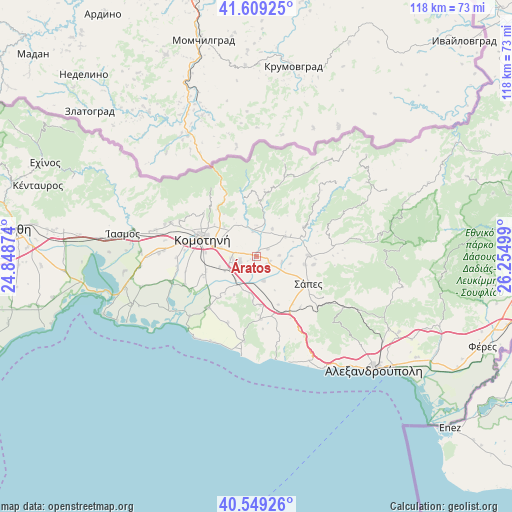
Áratos GPS coordinates[2]
41° 4' 53.004" North, 25° 33' 6.696" East
| Map corner | latitude | longitude |
|---|---|---|
| Upper-left | 41.60925°, | 24.84874° |
| Center: | 41.08139°, | 25.55186° |
| Lower-right: | 40.54926°, | 26.25499° |
| Map W x H: | 117.9×117.9 km | = 73.3×73.3mi |
| max Lat: | 41.72048° ⇑5.4% North |
| Áratos: | 41.08139° |
| min Lat: | ⇓94.6% South 34.8346° |
| min Long | Áratos | max Long |
| 19.40494° | 25.55186° | 29.59361° |
| W 91.2%⇐ | ⇒8.8% E |
Elevation
Elevation of Áratos is 34 m = 112 ft, and this is 134.9 m = 443 ft below average elevation for this country.
| Max E: |
1439 m = 4721 ft | 68.3% |
| Avg. | 168.9 m = 554 ft | |
| Áratos | 34 m = 112 ft | |
Min E: |
0 m = 0 ft | 31.7% |
See also: Greece elevation on elevation.city.
Geographical zone
Áratos is located in North temperate zone (between Tropic of Cancer and the Arctic Circle). Distance of this Northern Tropic circle is 1961.9 km =1219.1 mi to South.| Distance of | km | miles | from Áratos |
|---|---|---|---|
| North Pole | 5439.2 | 3379.8 | to North |
| Arctic Circle | 2833.4 | 1760.6 | to North |
| Tropic Cancer | 1961.9 | 1219.1 | to South |
| Equator | 4567.8 | 2838.3 | to South |


Nearby cities:
15 places around Áratos: (largest is in red/bold)
• Alexandroupoli
37.5 km =23.3 mi,  133°
133°
• Arrianá
12 km =7.5 mi,  90°
90°
• Arísvi
3.5 km =2.2 mi,  111°
111°
• Fillýra
7.9 km =4.9 mi,  60°
60°
• Fília
46.4 km =28.8 mi,  277°
277°
• Komotiní
13 km =8.1 mi,  288°
288°
• Lýkeio
11.4 km =7.1 mi,  99°
99°
• Méga Pistó
22.2 km =13.8 mi, 289°
• Nípsa
42.6 km =26.5 mi, 113°
• Pagoúria
20.5 km =12.7 mi,  253°
253°
• Sápes
13.2 km =8.2 mi,  116°
116°
• Símantra
44.6 km =27.7 mi, 278°
• Xylaganí
16.2 km =10.1 mi,  222°
222°
• Ántheia
43.6 km =27.1 mi, 122°
• Íasmos
31.1 km =19.3 mi, 279°
Sources, notices
• [Note1] Compared only with cities in Greece existing in our database
• [Src1] Map data: © OpenStreetMap contributors (CC-BY-SA)
• [Src2] Other city data from geonames.org with taken over terms of usage.
• [Src3] Geographical zone / Annual Mean Temperature by Robert A. Rohde @ Wikipedia
