Güinope geodata
Güinope (El Paraíso) is a populated place; located in Honduras in America/Tegucigalpa (GMT-6) time zone. With population of 2,716 people, there are 127 cities with bigger population in this country. Compared to other cities in Honduras, 89.8% of cities are located further ↑North; 76.2% of cities are located further ←West and 95% of cities have lower elevation than Güinope. Note1


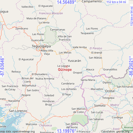
Güinope GPS coordinates[2]
13° 52' 59.988" North, 86° 55' 59.988" West
| Map corner | latitude | longitude |
|---|---|---|
| Upper-left | 14.56489°, | -87.63646° |
| Center: | 13.88333°, | -86.93333° |
| Lower-right: | 13.19976°, | -86.23021° |
| Map W x H: | 151.8×151.8 km | = 94.3×94.3mi |
| max Lat: | 16.45° ⇑89.8% North |
| Güinope: | 13.88333° |
| min Lat: | ⇓10.2% South 13.11667° |
| min Long | Güinope | max Long |
| -89.23333° | -86.93333° | -83.23333° |
| W 76.2%⇐ | ⇒23.8% E |
Elevation
Elevation of Güinope is 1310 m = 4298 ft, and this is 748.8 m = 2457 ft above average elevation for this country.
| Max E: |
1811 m = 5942 ft | 5% |
| Güinope | 1310 m 4298 ft | |
| Avg. | 561.2 m = 1841 ft | |
Min E: |
1 m = 3 ft | 95% |
See also: Honduras elevation on elevation.city.
Geographical zone
Güinope is located in North Torrid zone (between Equator and Tropic of Cancer). Distance of this Northern Tropic circle is 1062.2 km =660 mi to North.| Distance of | km | miles | from Güinope |
|---|---|---|---|
| North Pole | 8463.4 | 5258.9 | to North |
| Arctic Circle | 5857.5 | 3639.7 | to North |
| Tropic Cancer | 1062.2 | 660 | to North |
| Equator | 1543.7 | 959.2 | to South |


Nearby cities:
15 places around Güinope: (largest is in red/bold)
• Duyure
30.5 km =19 mi,  155°
155°
• El Tablón
30.2 km =18.8 mi,  303°
303°
• El Terrero
25 km =15.5 mi,  324°
324°
• El Tizatillo
31 km =19.3 mi,  294°
294°
• Jacaleapa
32.4 km =20.1 mi,  62°
62°
• Mandasta
16.8 km =10.4 mi,  173°
173°
• Morocelí
26.9 km =16.7 mi,  15°
15°
• Oropolí
14.6 km =9.1 mi,  120°
120°
• San Lucas
16.8 km =10.4 mi,  186°
186°
• Santa Lucía
31.2 km =19.4 mi, 320°
• Texíguat
27.7 km =17.2 mi,  200°
200°
• Valle de Ángeles
31.6 km =19.6 mi,  340°
340°
• Villa Nueva
27.3 km =17 mi,  307°
307°
• Villa de San Francisco
31.7 km =19.7 mi,  353°
353°
• Yuscarán
11 km =6.8 mi,  52°
52°
Sources, notices
• [Note1] Compared only with cities in Honduras existing in our database
• [Src1] Map data: © OpenStreetMap contributors (CC-BY-SA)
• [Src2] Other city data from geonames.org with taken over terms of usage.
• [Src3] Geographical zone / Annual Mean Temperature by Robert A. Rohde @ Wikipedia
