El Perico geodata
El Perico (Choluteca) is a populated place; located in Honduras in America/Tegucigalpa (GMT-6) time zone. With population of 957 people, there are 445 cities with bigger population in this country. Compared to other cities in Honduras, 99.8% of cities are located further ↑North; 74.4% of cities are located further ←West and 69.8% of cities have higher elevation than El Perico. Note1


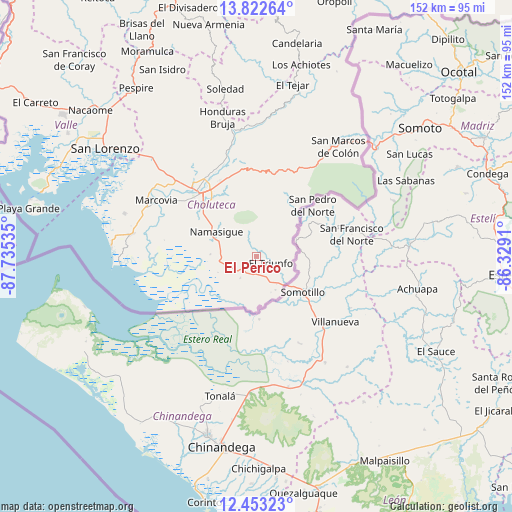
El Perico GPS coordinates[2]
13° 8' 20.004" North, 87° 1' 55.992" West
| Map corner | latitude | longitude |
|---|---|---|
| Upper-left | 13.82264°, | -87.73535° |
| Center: | 13.13889°, | -87.03222° |
| Lower-right: | 12.45323°, | -86.3291° |
| Map W x H: | 152.3×152.3 km | = 94.6×94.6mi |
| max Lat: | 16.45° ⇑99.8% North |
| El Perico: | 13.13889° |
| min Lat: | ⇓0.2% South 13.11667° |
| min Long | El Perico | max Long |
| -89.23333° | -87.03222° | -83.23333° |
| W 74.4%⇐ | ⇒25.6% E |
Elevation
Elevation of El Perico is 225 m = 738 ft, and this is 336.2 m = 1103 ft below average elevation for this country.
| Max E: |
1811 m = 5942 ft | 69.8% |
| Avg. | 561.2 m = 1841 ft | |
| El Perico | 225 m = 738 ft | |
Min E: |
1 m = 3 ft | 30.2% |
See also: Honduras elevation on elevation.city.
Geographical zone
El Perico is located in North Torrid zone (between Equator and Tropic of Cancer). Distance of this Northern Tropic circle is 1145 km =711.5 mi to North.| Distance of | km | miles | from El Perico |
|---|---|---|---|
| North Pole | 8546.2 | 5310.4 | to North |
| Arctic Circle | 5940.3 | 3691.1 | to North |
| Tropic Cancer | 1145 | 711.5 | to North |
| Equator | 1460.9 | 907.8 | to South |


Nearby cities:
15 places around El Perico: (largest is in red/bold)
• Ciudad Choluteca
24.8 km =15.4 mi,  316°
316°
• Concepción de María
9.3 km =5.8 mi,  21°
21°
• Corpus
16.7 km =10.4 mi,  359°
359°
• El Obraje
10.8 km =6.7 mi,  279°
279°
• El Puente
18.5 km =11.5 mi,  330°
330°
• El Triunfo
4.3 km =2.7 mi,  125°
125°
• Los Llanitos
36.6 km =22.7 mi,  296°
296°
• Marcovia
34.3 km =21.3 mi, 298°
• Monjarás
37.7 km =23.4 mi, 280°
• Namasigüe
13.7 km =8.5 mi, 302°
• San Agustín
11.4 km =7.1 mi,  306°
306°
• San Francisco
29.1 km =18.1 mi,  29°
29°
• San Jerónimo
12 km =7.5 mi,  290°
290°
• Santa Ana de Yusguare
20 km =12.4 mi, 333°
• Santa Cruz
36.7 km =22.8 mi, 291°
Sources, notices
• [Note1] Compared only with cities in Honduras existing in our database
• [Src1] Map data: © OpenStreetMap contributors (CC-BY-SA)
• [Src2] Other city data from geonames.org with taken over terms of usage.
• [Src3] Geographical zone / Annual Mean Temperature by Robert A. Rohde @ Wikipedia
