Zmajevac geodata
Zmajevac (Osječko-Baranjska) is a populated place; located in Croatia in Europe/Zagreb (GMT+2) time zone. With population of 853 people, there are 555 cities with bigger population in this country. Compared to other cities in Croatia, 72% of cities are located further ↓South; 96.2% of cities are located further ←West and 82% of cities have higher elevation than Zmajevac. Note1


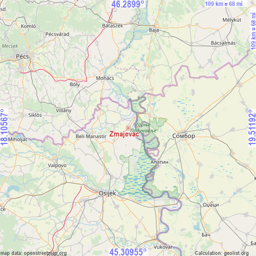
Zmajevac GPS coordinates[2]
45° 48' 6.768" North, 18° 48' 31.644" East
| Map corner | latitude | longitude |
|---|---|---|
| Upper-left | 46.2899°, | 18.10567° |
| Center: | 45.80188°, | 18.80879° |
| Lower-right: | 45.30955°, | 19.51192° |
| Map W x H: | 109×109 km | = 67.7×67.7mi |
| max Lat: | 46.52694° ⇑28% North |
| Zmajevac: | 45.80188° |
| min Lat: | ⇓72% South 42.54972° |
| min Long | Zmajevac | max Long |
| 13.52389° | 18.80879° | 19.37694° |
| W 96.2%⇐ | ⇒3.8% E |
Elevation
Elevation of Zmajevac is 83 m = 272 ft, and this is 70.3 m = 231 ft below average elevation for this country.
| Max E: |
827 m = 2713 ft | 82% |
| Avg. | 153.3 m = 503 ft | |
| Zmajevac | 83 m = 272 ft | |
Min E: |
-1 m = -3 ft | 18% |
See also: Croatia elevation on elevation.city.
Geographical zone
Zmajevac is located in North temperate zone (between Tropic of Cancer and the Arctic Circle). Distance of this North polar circle is 2308.5 km =1434.4 mi to North.| Distance of | km | miles | from Zmajevac |
|---|---|---|---|
| North Pole | 4914.4 | 3053.7 | to North |
| Arctic Circle | 2308.5 | 1434.4 | to North |
| Tropic Cancer | 2486.8 | 1545.2 | to South |
| Equator | 5092.7 | 3164.5 | to South |


Nearby cities:
15 places around Zmajevac: (largest is in red/bold)
• Batina
5.9 km =3.7 mi,  32°
32°
• Beli Manastir
16.3 km =10.1 mi,  257°
257°
• Branjin Vrh
15.4 km =9.6 mi,  267°
267°
• Draž
4.8 km =3 mi,  340°
340°
• Duboševica
13 km =8.1 mi,  318°
318°
• Grabovac
12.8 km =8 mi,  204°
204°
• Karanac
10.7 km =6.6 mi,  244°
244°
• Kneževi Vinogradi
8.2 km =5.1 mi,  225°
225°
• Kneževo
13.8 km =8.6 mi,  290°
290°
• Kozarac
13.8 km =8.6 mi, 228°
• Lug
15.7 km =9.8 mi,  189°
189°
• Popovac
11.7 km =7.3 mi, 273°
• Suza
3.4 km =2.1 mi, 231°
• Uglješ
19.2 km =11.9 mi,  216°
216°
• Čeminac
16.9 km =10.5 mi, 220°
Sources, notices
• [Note1] Compared only with cities in Croatia existing in our database
• [Src1] Map data: © OpenStreetMap contributors (CC-BY-SA)
• [Src2] Other city data from geonames.org with taken over terms of usage.
• [Src3] Geographical zone / Annual Mean Temperature by Robert A. Rohde @ Wikipedia
