Petrinja geodata
Petrinja (Sisačko-Moslavačka) is a seat of a second-order administrative division; located in Croatia in Europe/Zagreb (GMT+2) time zone. With population of 13,868 people, there are 29 cities with bigger population in this country. Compared to other cities in Croatia, 50.6% of cities are located further ↓South; 58% of cities are located further →East and 58.9% of cities have higher elevation than Petrinja. Note1


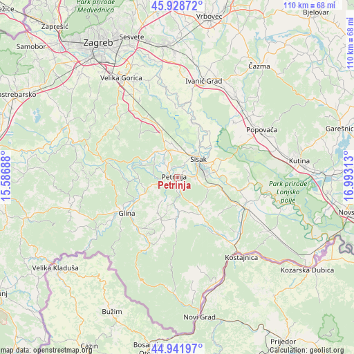
Petrinja GPS coordinates[2]
45° 26' 15" North, 16° 17' 24" East
| Map corner | latitude | longitude |
|---|---|---|
| Upper-left | 45.92872°, | 15.58688° |
| Center: | 45.4375°, | 16.29° |
| Lower-right: | 44.94197°, | 16.99313° |
| Map W x H: | 109.7×109.7 km | = 68.2×68.2mi |
| max Lat: | 46.52694° ⇑49.4% North |
| Petrinja: | 45.4375° |
| min Lat: | ⇓50.6% South 42.54972° |
| min Long | Petrinja | max Long |
| 13.52389° | 16.29° | 19.37694° |
| W 42%⇐ | ⇒58% E |
Elevation
Elevation of Petrinja is 111 m = 364 ft, and this is 42.3 m = 139 ft below average elevation for this country.
| Max E: |
827 m = 2713 ft | 58.9% |
| Avg. | 153.3 m = 503 ft | |
| Petrinja | 111 m = 364 ft | |
Min E: |
-1 m = -3 ft | 41.1% |
See also: Croatia elevation on elevation.city.
Geographical zone
Petrinja is located in North temperate zone (between Tropic of Cancer and the Arctic Circle). Distance of this North polar circle is 2349 km =1459.6 mi to North.| Distance of | km | miles | from Petrinja |
|---|---|---|---|
| North Pole | 4954.9 | 3078.8 | to North |
| Arctic Circle | 2349 | 1459.6 | to North |
| Tropic Cancer | 2446.3 | 1520.1 | to South |
| Equator | 5052.2 | 3139.3 | to South |


Nearby cities:
15 places around Petrinja: (largest is in red/bold)
• Budaševo
12.2 km =7.6 mi,  70°
70°
• Glina
19.3 km =12 mi,  234°
234°
• Gornje Komarevo
10.7 km =6.6 mi,  105°
105°
• Hrastelnica
12.3 km =7.6 mi,  54°
54°
• Lekenik
17.6 km =10.9 mi,  339°
339°
• Mala Gorica
5.4 km =3.4 mi,  318°
318°
• Martinska Ves
17.6 km =10.9 mi,  22°
22°
• Odra Sisačka
8.4 km =5.2 mi,  33°
33°
• Sela
8 km =5 mi,  8°
8°
• Sisak
7.6 km =4.7 mi, 65°
• Strelečko
11.6 km =7.2 mi,  39°
39°
• Stružec
22.9 km =14.2 mi,  64°
64°
• Sunja
22.9 km =14.2 mi, 109°
• Topolovac
11.7 km =7.3 mi,  77°
77°
• Žabno
8.4 km =5.2 mi, 33°
Sources, notices
• [Note1] Compared only with cities in Croatia existing in our database
• [Src1] Map data: © OpenStreetMap contributors (CC-BY-SA)
• [Src2] Other city data from geonames.org with taken over terms of usage.
• [Src3] Geographical zone / Annual Mean Temperature by Robert A. Rohde @ Wikipedia
