Sveti Petar Čvrstec geodata
Sveti Petar Čvrstec (Koprivničko-Križevačka) is a populated place; located in Croatia in Europe/Zagreb (GMT+2) time zone. With population of 603 people, there are 752 cities with bigger population in this country. Compared to other cities in Croatia, 82.1% of cities are located further ↓South; 58.8% of cities are located further ←West and 69.7% of cities have lower elevation than Sveti Petar Čvrstec. Note1


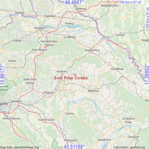
Sveti Petar Čvrstec GPS coordinates[2]
46° 0' 8.82" North, 16° 39' 53.604" East
| Map corner | latitude | longitude |
|---|---|---|
| Upper-left | 46.4887°, | 15.96177° |
| Center: | 46.00245°, | 16.66489° |
| Lower-right: | 45.51188°, | 17.36802° |
| Map W x H: | 108.6×108.6 km | = 67.5×67.5mi |
| max Lat: | 46.52694° ⇑17.9% North |
| Sveti Petar Čvrstec: | 46.00245° |
| min Lat: | ⇓82.1% South 42.54972° |
| min Long | Sveti Petar Čv | max Long |
| 13.52389° | 16.66489° | 19.37694° |
| W 58.8%⇐ | ⇒41.2% E |
Elevation
Elevation of Sveti Petar Čvrstec is 166 m = 545 ft, and this is 12.7 m = 42 ft above average elevation for this country.
| Max E: |
827 m = 2713 ft | 30.3% |
| Sveti Petar Čvrstec | 166 m 545 ft | |
| Avg. | 153.3 m = 503 ft | |
Min E: |
-1 m = -3 ft | 69.7% |
See also: Croatia elevation on elevation.city.
Geographical zone
Sveti Petar Čvrstec is located in North temperate zone (between Tropic of Cancer and the Arctic Circle). Distance of this North polar circle is 2286.2 km =1420.6 mi to North.| Distance of | km | miles | from Sveti Petar Čvrstec |
|---|---|---|---|
| North Pole | 4892.1 | 3039.8 | to North |
| Arctic Circle | 2286.2 | 1420.6 | to North |
| Tropic Cancer | 2509.1 | 1559.1 | to South |
| Equator | 5115 | 3178.3 | to South |


Nearby cities:
15 places around Sveti Petar Čvrstec: (largest is in red/bold)
• Cirkvena
7.9 km =4.9 mi,  182°
182°
• Cubinec
7.9 km =4.9 mi,  254°
254°
• Farkaševac
13.8 km =8.6 mi,  187°
187°
• Gudovac
16.3 km =10.1 mi,  146°
146°
• Haganj
12.1 km =7.5 mi,  211°
211°
• Kapela
14.5 km =9 mi,  96°
96°
• Klokočevac
13.2 km =8.2 mi,  136°
136°
• Križevci
9.7 km =6 mi,  282°
282°
• Predavac
11.8 km =7.3 mi,  128°
128°
• Prgomelje
14.1 km =8.8 mi, 151°
• Reka
16.2 km =10.1 mi,  28°
28°
• Rovišće
8.4 km =5.2 mi, 139°
• Sokolovac
12.5 km =7.8 mi,  14°
14°
• Sveti Ivan Žabno
7.4 km =4.6 mi, 212°
• Trema
5.4 km =3.4 mi, 248°
Sources, notices
• [Note1] Compared only with cities in Croatia existing in our database
• [Src1] Map data: © OpenStreetMap contributors (CC-BY-SA)
• [Src2] Other city data from geonames.org with taken over terms of usage.
• [Src3] Geographical zone / Annual Mean Temperature by Robert A. Rohde @ Wikipedia
