Zsombó geodata
Zsombó (Csongrád) is a populated place; located in Hungary in Europe/Budapest (GMT+2) time zone. With population of 3,268 people, there are 447 cities with bigger population in this country. Compared to other cities in Hungary, 91.5% of cities are located further ↑North; 60.9% of cities are located further ←West and 89.4% of cities have higher elevation than Zsombó. Note1


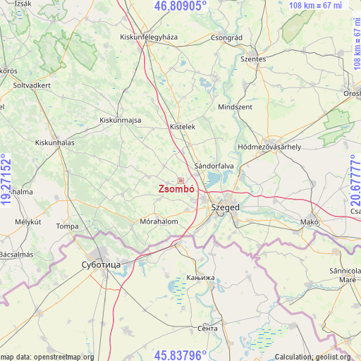
Zsombó GPS coordinates[2]
46° 19' 32.376" North, 19° 58' 28.704" East
| Map corner | latitude | longitude |
|---|---|---|
| Upper-left | 46.80905°, | 19.27152° |
| Center: | 46.32566°, | 19.97464° |
| Lower-right: | 45.83796°, | 20.67777° |
| Map W x H: | 108×108 km | = 67.1×67.1mi |
| max Lat: | 48.46667° ⇑91.5% North |
| Zsombó: | 46.32566° |
| min Lat: | ⇓8.5% South 45.79108° |
| min Long | Zsombó | max Long |
| 16.27358° | 19.97464° | 22.68096° |
| W 60.9%⇐ | ⇒39.1% E |
Elevation
Elevation of Zsombó is 87 m = 285 ft, and this is 42.7 m = 140 ft below average elevation for this country.
| Max E: |
444 m = 1457 ft | 89.4% |
| Avg. | 129.7 m = 426 ft | |
| Zsombó | 87 m = 285 ft | |
Min E: |
71 m = 233 ft | 10.6% |
See also: Hungary elevation on elevation.city.
Geographical zone
Zsombó is located in North temperate zone (between Tropic of Cancer and the Arctic Circle). Distance of this North polar circle is 2250.2 km =1398.2 mi to North.| Distance of | km | miles | from Zsombó |
|---|---|---|---|
| North Pole | 4856.1 | 3017.4 | to North |
| Arctic Circle | 2250.2 | 1398.2 | to North |
| Tropic Cancer | 2545 | 1581.4 | to South |
| Equator | 5150.9 | 3200.6 | to South |


Nearby cities:
15 places around Zsombó: (largest is in red/bold)
• Algyő
18 km =11.2 mi,  86°
86°
• Balástya
11.1 km =6.9 mi,  13°
13°
• Bordány
4 km =2.5 mi,  258°
258°
• Domaszék
9 km =5.6 mi,  161°
161°
• Forráskút
6.7 km =4.2 mi,  311°
311°
• Kistelek
16.3 km =10.1 mi,  1°
1°
• Mórahalom
13.8 km =8.6 mi,  209°
209°
• Ruzsa
18 km =11.2 mi, 256°
• Röszke
16 km =9.9 mi, 163°
• Szatymaz
5.4 km =3.4 mi,  68°
68°
• Szeged
15.6 km =9.7 mi,  121°
121°
• Sándorfalva
10.3 km =6.4 mi, 67°
• Zákányszék
8.7 km =5.4 mi,  228°
228°
• Ópusztaszer
19.8 km =12.3 mi,  25°
25°
• Üllés
10.1 km =6.3 mi,  276°
276°
Sources, notices
• [Note1] Compared only with cities in Hungary existing in our database
• [Src1] Map data: © OpenStreetMap contributors (CC-BY-SA)
• [Src2] Other city data from geonames.org with taken over terms of usage.
• [Src3] Geographical zone / Annual Mean Temperature by Robert A. Rohde @ Wikipedia
