Szárliget geodata
Szárliget (Fejér) is a populated place; located in Hungary in Europe/Budapest (GMT+2) time zone. With population of 2,337 people, there are 660 cities with bigger population in this country. Compared to other cities in Hungary, 56.6% of cities are located further ↓South; 77% of cities are located further →East and 96.2% of cities have lower elevation than Szárliget. Note1


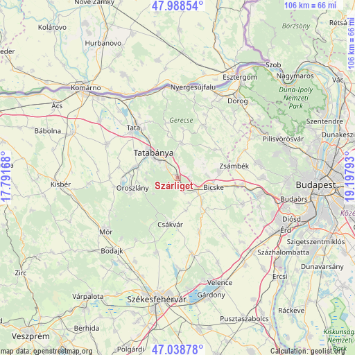
Szárliget GPS coordinates[2]
47° 30' 56.916" North, 18° 29' 41.28" East
| Map corner | latitude | longitude |
|---|---|---|
| Upper-left | 47.98854°, | 17.79168° |
| Center: | 47.51581°, | 18.4948° |
| Lower-right: | 47.03878°, | 19.19793° |
| Map W x H: | 105.6×105.6 km | = 65.6×65.6mi |
| max Lat: | 48.46667° ⇑43.4% North |
| Szárliget: | 47.51581° |
| min Lat: | ⇓56.6% South 45.79108° |
| min Long | Szárliget | max Long |
| 16.27358° | 18.4948° | 22.68096° |
| W 23%⇐ | ⇒77% E |
Elevation
Elevation of Szárliget is 236 m = 774 ft, and this is 106.3 m = 349 ft above average elevation for this country.
| Max E: |
444 m = 1457 ft | 3.8% |
| Szárliget | 236 m 774 ft | |
| Avg. | 129.7 m = 426 ft | |
Min E: |
71 m = 233 ft | 96.2% |
See also: Hungary elevation on elevation.city.
Geographical zone
Szárliget is located in North temperate zone (between Tropic of Cancer and the Arctic Circle). Distance of this North polar circle is 2117.9 km =1316 mi to North.| Distance of | km | miles | from Szárliget |
|---|---|---|---|
| North Pole | 4723.8 | 2935.2 | to North |
| Arctic Circle | 2117.9 | 1316 | to North |
| Tropic Cancer | 2677.3 | 1663.6 | to South |
| Equator | 5283.3 | 3282.9 | to South |


Nearby cities:
15 places around Szárliget: (largest is in red/bold)
• Baj
17.5 km =10.9 mi,  325°
325°
• Bajna
17.2 km =10.7 mi,  26°
26°
• Bicske
11.7 km =7.3 mi,  107°
107°
• Bokod
18.8 km =11.7 mi,  261°
261°
• Csákvár
14 km =8.7 mi,  189°
189°
• Kecskéd
13.9 km =8.6 mi,  273°
273°
• Környe
13.5 km =8.4 mi,  284°
284°
• Mány
12.3 km =7.6 mi,  80°
80°
• Oroszlány
14.1 km =8.8 mi, 256°
• Tardos
16.7 km =10.4 mi,  346°
346°
• Tarján
10.6 km =6.6 mi,  6°
6°
• Tata
20.2 km =12.6 mi,  319°
319°
• Tatabánya
10.8 km =6.7 mi, 315°
• Vértesszőlős
14.5 km =9 mi, 323°
• Zsámbék
17.3 km =10.7 mi, 78°
Sources, notices
• [Note1] Compared only with cities in Hungary existing in our database
• [Src1] Map data: © OpenStreetMap contributors (CC-BY-SA)
• [Src2] Other city data from geonames.org with taken over terms of usage.
• [Src3] Geographical zone / Annual Mean Temperature by Robert A. Rohde @ Wikipedia
