Lamadong geodata
Lamadong (Central Sulawesi) is a seat of a third-order administrative division; located in Indonesia in Asia/Makassar (GMT+8) time zone. In our database, there are 407 cities with bigger population. Compared to other cities in Indonesia, 96.4% of cities are located further ↓South; 86.5% of cities are located further ←West and 84.2% of cities have higher elevation than Lamadong. Note1


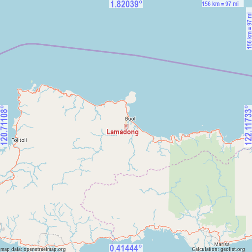
Lamadong GPS coordinates[2]
1° 7' 3" North, 121° 24' 51.12" East
| Map corner | latitude | longitude |
|---|---|---|
| Upper-left | 1.82039°, | 120.71108° |
| Center: | 1.1175°, | 121.4142° |
| Lower-right: | 0.41444°, | 122.11733° |
| Map W x H: | 156.3×156.3 km | = 97.1×97.1mi |
| max Lat: | 5.88969° ⇑3.6% North |
| Lamadong: | 1.1175° |
| min Lat: | ⇓96.4% South -10.934° |
| min Long | Lamadong | max Long |
| 95.1345° | 121.4142° | 140.9419° |
| W 86.5%⇐ | ⇒13.5% E |
Elevation
Elevation of Lamadong is 15 m = 49 ft, and this is 214.7 m = 704 ft below average elevation for this country.
| Max E: |
3185 m = 10449 ft | 84.2% |
| Avg. | 229.7 m = 754 ft | |
| Lamadong | 15 m = 49 ft | |
Min E: |
-1 m = -3 ft | 15.8% |
See also: Indonesia elevation on elevation.city.
Geographical zone
Lamadong is located in North Torrid zone (between Equator and Tropic of Cancer). Distance of Equator is 124.3 km =77.2 mi to South.| Distance of | km | miles | from Lamadong |
|---|---|---|---|
| North Pole | 9882.8 | 6140.9 | to North |
| Arctic Circle | 7276.9 | 4521.7 | to North |
| Tropic Cancer | 2481.7 | 1542.1 | to North |
| Equator | 124.3 | 77.2 | to South |


Nearby cities:
15 places around Lamadong: (largest is in red/bold)
• Bokat
10.6 km =6.6 mi,  108°
108°
• Bunobogu
23.7 km =14.7 mi, 111°
• Buol
5.2 km =3.2 mi,  28°
28°
• Isimu
169.3 km =105.2 mi, 108°
• Kali
5.2 km =3.2 mi,  16°
16°
• Kwandang
169.8 km =105.5 mi,  100°
100°
• Lemito
66.3 km =41.2 mi,  164°
164°
• Marisa
93 km =57.8 mi,  141°
141°
• Molobulahe
139.8 km =86.9 mi, 112°
• Ogotua
129 km =80.2 mi,  262°
262°
• Payunga
181.7 km =112.9 mi, 109°
• Sidomulyo
143.3 km =89 mi, 111°
• Tilamuta
122.7 km =76.2 mi,  122°
122°
• Tinabogan
105.5 km =65.6 mi,  249°
249°
• Tolitoli
67 km =41.6 mi, 262°
Sources, notices
• [Note1] Compared only with cities in Indonesia existing in our database
• [Src1] Map data: © OpenStreetMap contributors (CC-BY-SA)
• [Src2] Other city data from geonames.org with taken over terms of usage.
• [Src3] Geographical zone / Annual Mean Temperature by Robert A. Rohde @ Wikipedia
