Marisa geodata
Marisa (Gorontalo) is a seat of a second-order administrative division; located in Indonesia in Asia/Makassar (GMT+8) time zone. In our database, there are 407 cities with bigger population. Compared to other cities in Indonesia, 95.4% of cities are located further ↓South; 87.9% of cities are located further ←West and 92.1% of cities have higher elevation than Marisa. Note1


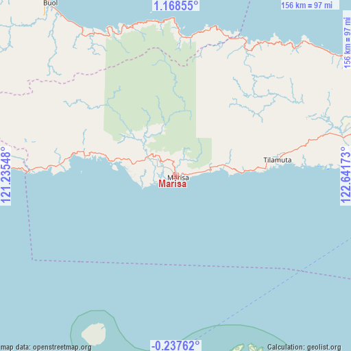
Marisa GPS coordinates[2]
0° 27' 55.8" North, 121° 56' 18.96" East
| Map corner | latitude | longitude |
|---|---|---|
| Upper-left | 1.16855°, | 121.23548° |
| Center: | 0.4655°, | 121.9386° |
| Lower-right: | -0.23762°, | 122.64173° |
| Map W x H: | 156.4×156.4 km | = 97.2×97.2mi |
| max Lat: | 5.88969° ⇑4.6% North |
| Marisa: | 0.4655° |
| min Lat: | ⇓95.4% South -10.934° |
| min Long | Marisa | max Long |
| 95.1345° | 121.9386° | 140.9419° |
| W 87.9%⇐ | ⇒12.1% E |
Elevation
Elevation of Marisa is 9 m = 30 ft, and this is 220.7 m = 724 ft below average elevation for this country.
| Max E: |
3185 m = 10449 ft | 92.1% |
| Avg. | 229.7 m = 754 ft | |
| Marisa | 9 m = 30 ft | |
Min E: |
-1 m = -3 ft | 7.9% |
See also: Indonesia elevation on elevation.city.
Geographical zone
Marisa is located in North Torrid zone (between Equator and Tropic of Cancer). Distance of Equator is 51.8 km =32.2 mi to South.| Distance of | km | miles | from Marisa |
|---|---|---|---|
| North Pole | 9955.3 | 6185.9 | to North |
| Arctic Circle | 7349.4 | 4566.7 | to North |
| Tropic Cancer | 2554.2 | 1587.1 | to North |
| Equator | 51.8 | 32.2 | to South |


Nearby cities:
15 places around Marisa: (largest is in red/bold)
• Bokat
84.3 km =52.4 mi,  325°
325°
• Bunobogu
73.5 km =45.7 mi, 330°
• Buol
95.2 km =59.2 mi,  324°
324°
• Gorontalo
125.2 km =77.8 mi,  86°
86°
• Isimu
104.5 km =64.9 mi,  79°
79°
• Kali
96.1 km =59.7 mi, 323°
• Kwandang
116.1 km =72.1 mi,  69°
69°
• Lamadong
93 km =57.8 mi, 321°
• Lemito
41.7 km =25.9 mi,  281°
281°
• Limboto
116.9 km =72.6 mi, 81°
• Molobulahe
73.1 km =45.4 mi, 75°
• Payunga
113.2 km =70.3 mi, 84°
• Sidomulyo
78 km =48.5 mi, 74°
• Suwawa
134.6 km =83.6 mi, 86°
• Tilamuta
45.8 km =28.5 mi, 81°
Sources, notices
• [Note1] Compared only with cities in Indonesia existing in our database
• [Src1] Map data: © OpenStreetMap contributors (CC-BY-SA)
• [Src2] Other city data from geonames.org with taken over terms of usage.
• [Src3] Geographical zone / Annual Mean Temperature by Robert A. Rohde @ Wikipedia
