Maubasa geodata
Maubasa (East Nusa Tenggara) is a seat of a fourth-order administrative division; located in Indonesia in Asia/Makassar (GMT+8) time zone. In our database, there are 407 cities with bigger population. Compared to other cities in Indonesia, 91.8% of cities are located further ↑North; 87.8% of cities are located further ←West and 81.9% of cities have higher elevation than Maubasa. Note1


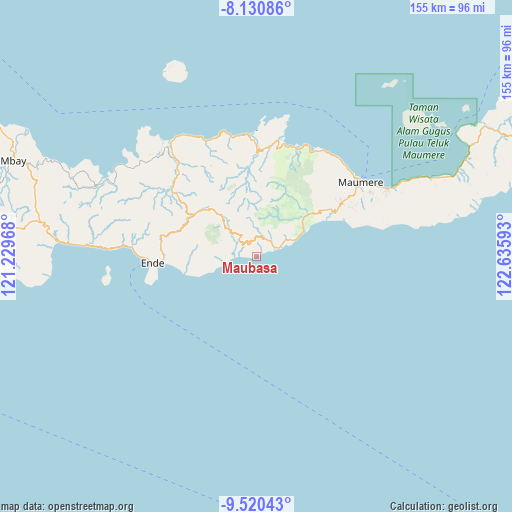
Maubasa GPS coordinates[2]
8° 49' 34.68" South, 121° 55' 58.08" East
| Map corner | latitude | longitude |
|---|---|---|
| Upper-left | -8.13086°, | 121.22968° |
| Center: | -8.8263°, | 121.9328° |
| Lower-right: | -9.52043°, | 122.63593° |
| Map W x H: | 154.5×154.5 km | = 96×96mi |
| max Lat: | 5.88969° ⇑91.8% North |
| Maubasa: | -8.8263° |
| min Lat: | ⇓8.2% South -10.934° |
| min Long | Maubasa | max Long |
| 95.1345° | 121.9328° | 140.9419° |
| W 87.8%⇐ | ⇒12.2% E |
Elevation
Elevation of Maubasa is 17 m = 56 ft, and this is 212.7 m = 698 ft below average elevation for this country.
| Max E: |
3185 m = 10449 ft | 81.9% |
| Avg. | 229.7 m = 754 ft | |
| Maubasa | 17 m = 56 ft | |
Min E: |
-1 m = -3 ft | 18.1% |
See also: Indonesia elevation on elevation.city.
Geographical zone
Maubasa is located in South Torrid zone (between Equator and Tropic of Capricorn). Distance of Equator is 981.4 km =609.8 mi to North.| Distance of | km | miles | from Maubasa |
|---|---|---|---|
| Equator | 981.4 | 609.8 | to North |
| Tropic Capricorn | 1624.5 | 1009.4 | to South |
| Antarctic Circle | 6419.8 | 3989.1 | to South |
| South Pole | 9025.7 | 5608.3 | to South |


Nearby cities:
15 places around Maubasa: (largest is in red/bold)
• Aemalu
6.9 km =4.3 mi,  10°
10°
• Aeteke
5.7 km =3.5 mi,  59°
59°
• Aipetu
5.9 km =3.7 mi,  54°
54°
• Baolokan
7.4 km =4.6 mi,  319°
319°
• Jitapanda
6.1 km =3.8 mi,  25°
25°
• Koanara
12.4 km =7.7 mi,  314°
314°
• Liabeke
5.6 km =3.5 mi,  353°
353°
• Mauloo
12.3 km =7.6 mi,  66°
66°
• Woloara
9.6 km =6 mi,  23°
23°
• Wolobela
10.2 km =6.3 mi, 13°
• Wololele A
8 km =5 mi, 345°
• Wololele B
8.3 km =5.2 mi,  328°
328°
• Wolowaru
7 km =4.3 mi, 312°
• Wolowiro
10.2 km =6.3 mi, 60°
• Wonda
4 km =2.5 mi, 6°
Sources, notices
• [Note1] Compared only with cities in Indonesia existing in our database
• [Src1] Map data: © OpenStreetMap contributors (CC-BY-SA)
• [Src2] Other city data from geonames.org with taken over terms of usage.
• [Src3] Geographical zone / Annual Mean Temperature by Robert A. Rohde @ Wikipedia
