Jeong geodata
Jeong (East Nusa Tenggara) is a seat of a fourth-order administrative division; located in Indonesia in Asia/Makassar (GMT+8) time zone. In our database, there are 407 cities with bigger population. Compared to other cities in Indonesia, 86.5% of cities are located further ↑North; 83.4% of cities are located further ←West and 87.2% of cities have lower elevation than Jeong. Note1


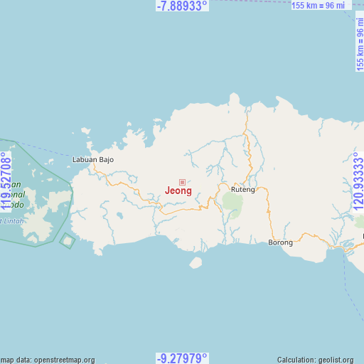
Jeong GPS coordinates[2]
8° 35' 6.72" South, 120° 13' 48.72" East
| Map corner | latitude | longitude |
|---|---|---|
| Upper-left | -7.88933°, | 119.52708° |
| Center: | -8.5852°, | 120.2302° |
| Lower-right: | -9.27979°, | 120.93333° |
| Map W x H: | 154.6×154.6 km | = 96.1×96.1mi |
| max Lat: | 5.88969° ⇑86.5% North |
| Jeong: | -8.5852° |
| min Lat: | ⇓13.5% South -10.934° |
| min Long | Jeong | max Long |
| 95.1345° | 120.2302° | 140.9419° |
| W 83.4%⇐ | ⇒16.6% E |
Elevation
Elevation of Jeong is 561 m = 1841 ft, and this is 331.3 m = 1087 ft above average elevation for this country.
| Max E: |
3185 m = 10449 ft | 12.8% |
| Jeong | 561 m 1841 ft | |
| Avg. | 229.7 m = 754 ft | |
Min E: |
-1 m = -3 ft | 87.2% |
See also: Indonesia elevation on elevation.city.
Geographical zone
Jeong is located in South Torrid zone (between Equator and Tropic of Capricorn). Distance of Equator is 954.6 km =593.2 mi to North.| Distance of | km | miles | from Jeong |
|---|---|---|---|
| Equator | 954.6 | 593.2 | to North |
| Tropic Capricorn | 1651.3 | 1026.1 | to South |
| Antarctic Circle | 6446.6 | 4005.7 | to South |
| South Pole | 9052.5 | 5625 | to South |


Nearby cities:
15 places around Jeong: (largest is in red/bold)
• Bambor
19 km =11.8 mi,  260°
260°
• Dahot
18.7 km =11.6 mi,  248°
248°
• Handeng
12.1 km =7.5 mi,  300°
300°
• Kaca
18.4 km =11.4 mi,  181°
181°
• Laci
18.2 km =11.3 mi,  228°
228°
• Noa
6.9 km =4.3 mi,  331°
331°
• Pacar
11.9 km =7.4 mi,  344°
344°
• Pau
16.6 km =10.3 mi,  345°
345°
• Rawuk
2.6 km =1.6 mi,  16°
16°
• Rego
17.9 km =11.1 mi,  9°
9°
• Sasa
17.2 km =10.7 mi, 341°
• Semang
1.5 km =0.9 mi, 301°
• Tondongraja
18.9 km =11.7 mi,  270°
270°
• Waepitak
4.5 km =2.8 mi,  28°
28°
• Wunat
6.6 km =4.1 mi, 351°
Sources, notices
• [Note1] Compared only with cities in Indonesia existing in our database
• [Src1] Map data: © OpenStreetMap contributors (CC-BY-SA)
• [Src2] Other city data from geonames.org with taken over terms of usage.
• [Src3] Geographical zone / Annual Mean Temperature by Robert A. Rohde @ Wikipedia
